Skip to content
The Netherlands Beneath Your Feet

Vanished places

Vanished places in North Holland

North Holland looks very different today from how it did a few centuries ago. Villages disappeared beneath the water, castles were demolished and entire settlements made way for polders, roads, harbours and an airport. Sometimes a ruin survived, but often almost every visible trace vanished. Yet the past has not disappeared completely. Old dykes, ditches, street names and subtle changes in height still reveal where people lived, worked and shaped their surroundings. This page brings together vanished places in North Holland that can still be visited. Not because everything survives, but because the landscape still tells their stories.

View the vanished places ↓

Where places disappear, history remains

A place rarely disappears all at once. A village may slowly empty, a castle can be dismantled stone by stone and a coastline may retreat further after every storm. Sometimes people intervene abruptly and transform a landscape within a few years through land reclamation, urban expansion or new infrastructure.

North Holland has experienced all of these forms of disappearance. The old village of Rijk made way for Schiphol, medieval Vronen was abandoned after violent conflict, and at Petten coastal erosion and flooding forced the village inland several times. Precisely because the visible places changed, these locations reveal the forces that shaped the province: water, war, government, economic growth and human choices.

How these vanished places were selected

The selection consists of locations where a village, building, settlement or landscape largely or completely disappeared, but where the place itself can still be visited and read. Sometimes a foundation or ruin remains. Elsewhere, the story must be recognised in a dyke, field pattern, street name or work of art.

The focus is not on abandoned buildings or urbex, but on historically vanished places. Each location shows what once stood there, why it disappeared and which traces still give meaning to the landscape today.

Why so many places disappeared in North Holland

Water played a leading role for centuries. Storm floods swallowed land, coastal erosion threatened villages and lakes were later drained. At the same time, castles disappeared through war, decay or the reuse of building materials.

From the nineteenth and twentieth centuries onwards, new causes were added. Railways, harbours, industry, housing and aviation demanded space. What had existed for centuries could disappear from the map within a single generation. Disappearance therefore did not always mean disaster. Sometimes it resulted from progress or a deliberate decision. Even then, the question remains what the landscape lost and which memories survived.

What can you still see today?

Visiting a vanished place often requires a different way of looking from visiting a monument. Look for an unusual bend in a road, a slight rise in a field, old ditches, a church mound or a name that no longer seems to fit its surroundings.

Sometimes archaeological outlines or information panels make the past visible. Elsewhere almost nothing is marked, and the picture only emerges once you know the former situation. That is precisely what makes these places special: the present landscape becomes a map on which different periods overlap.

Vanished does not mean forgotten

A vanished village or castle can survive for centuries in archives, stories, street names and local memory. Even when nothing remains above ground, the place can still be important to the history of an area.

Visiting these locations shows that heritage consists of more than buildings that have been carefully preserved. Absence tells a story too. Sometimes the empty space is the strongest evidence that something else once stood here.

Vanished villages, castles and landscapes

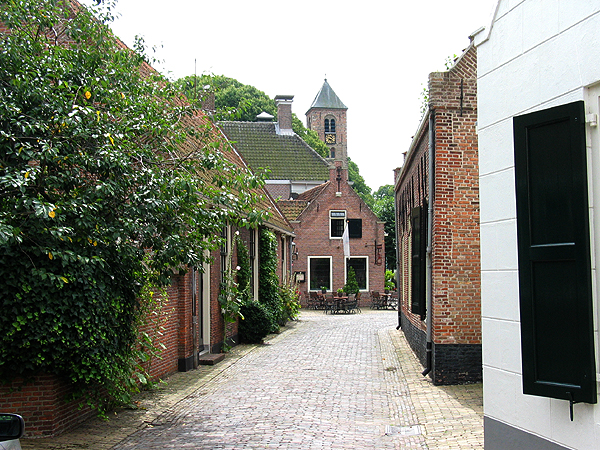
Village view in Velsen-Zuid, in the vicinity of the Roman archaeological sites

Photo: Gerard Hogervorst (Gmhogervorst)

Credit: Photo: Gerard Hogervorst, username Gmhogervorst on Dutch Wikipedia, via Wikimedia Commons, CC BY 1.0 NL

Licence: CC BY 1.0 NL

Changes: No changes.

Source ↗

Vanished places

Castellum Flevum, the Lost Roman Fort near Velsen

Velsen

At the beginning of the first century, two Roman military bases stood near Velsen on the Oer-IJ. Today, almost nothing of them can be recognised above ground. Velsen 1 was a fortified harbour complex usually linked to Castellum Flevum, mentioned by Tacitus. Velsen 2 was a much larger military camp.

View this place
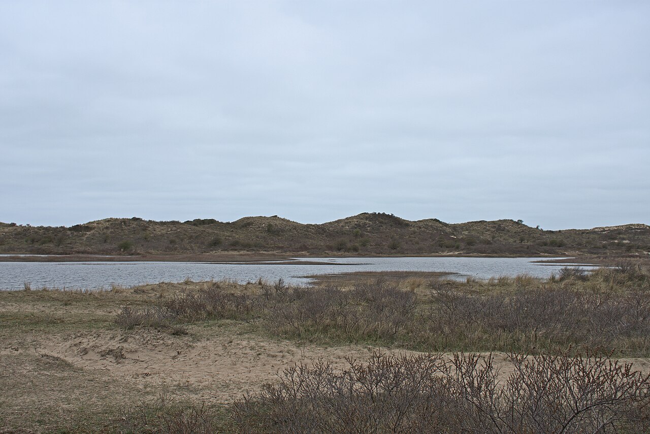
Open dune valley at Groot Olmen in South Kennemerland National Park

Photo: Ymblanter

Credit: Photo: Ymblanter, via Wikimedia Commons, CC BY-SA 4.0

Licence: CC BY-SA 4.0

Changes: No changes.

Source ↗

Vanished places

Groot Olmen, Settlements Beneath the Dune Sand

Bloemendaal

Beneath the sand at Groot Olmen lies an entire early medieval settlement landscape. Farmhouses, fields, paths and watering places disappeared beneath younger dunes and remained preserved there for centuries.

View this place
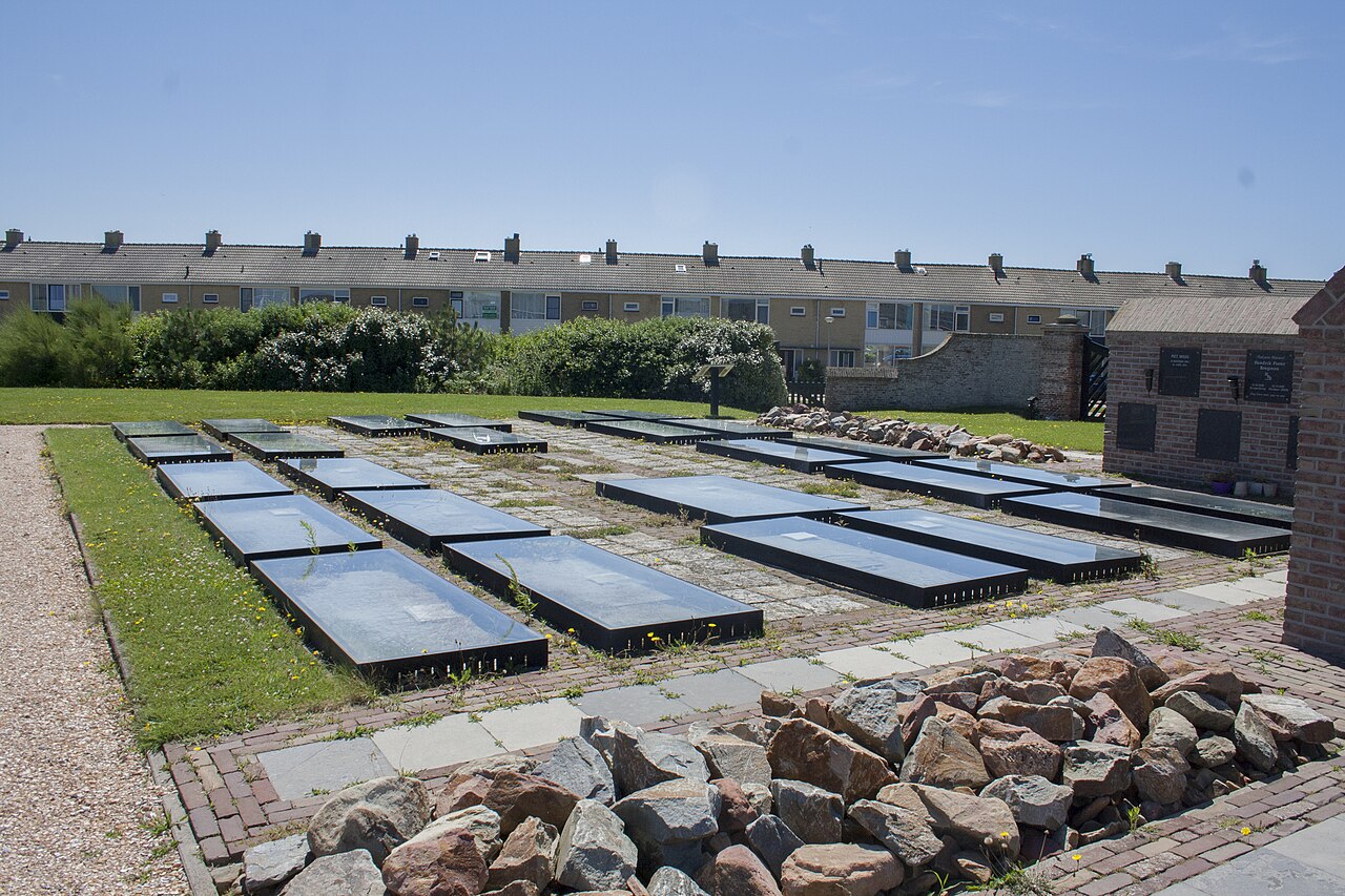
Historical ledger stones from Petten’s Dutch Reformed church, demolished in 1944

Photo: EdwinH

Credit: Photo: EdwinH, via Wikimedia Commons, CC BY-SA 4.0

Licence: CC BY-SA 4.0

Changes: No changes.

Source ↗

Vanished places

The Third Petten

Schagen

Until the Second World War, the third Petten stood around the church and old cemetery. Between June 1943 and May 1944, the residents were evacuated and almost all houses, shops, schools, farms and public buildings were demolished for the Atlantic Wall. The cemetery and the ledger stones from the vanished church remained as the quiet core of the pre-war village.

View this place
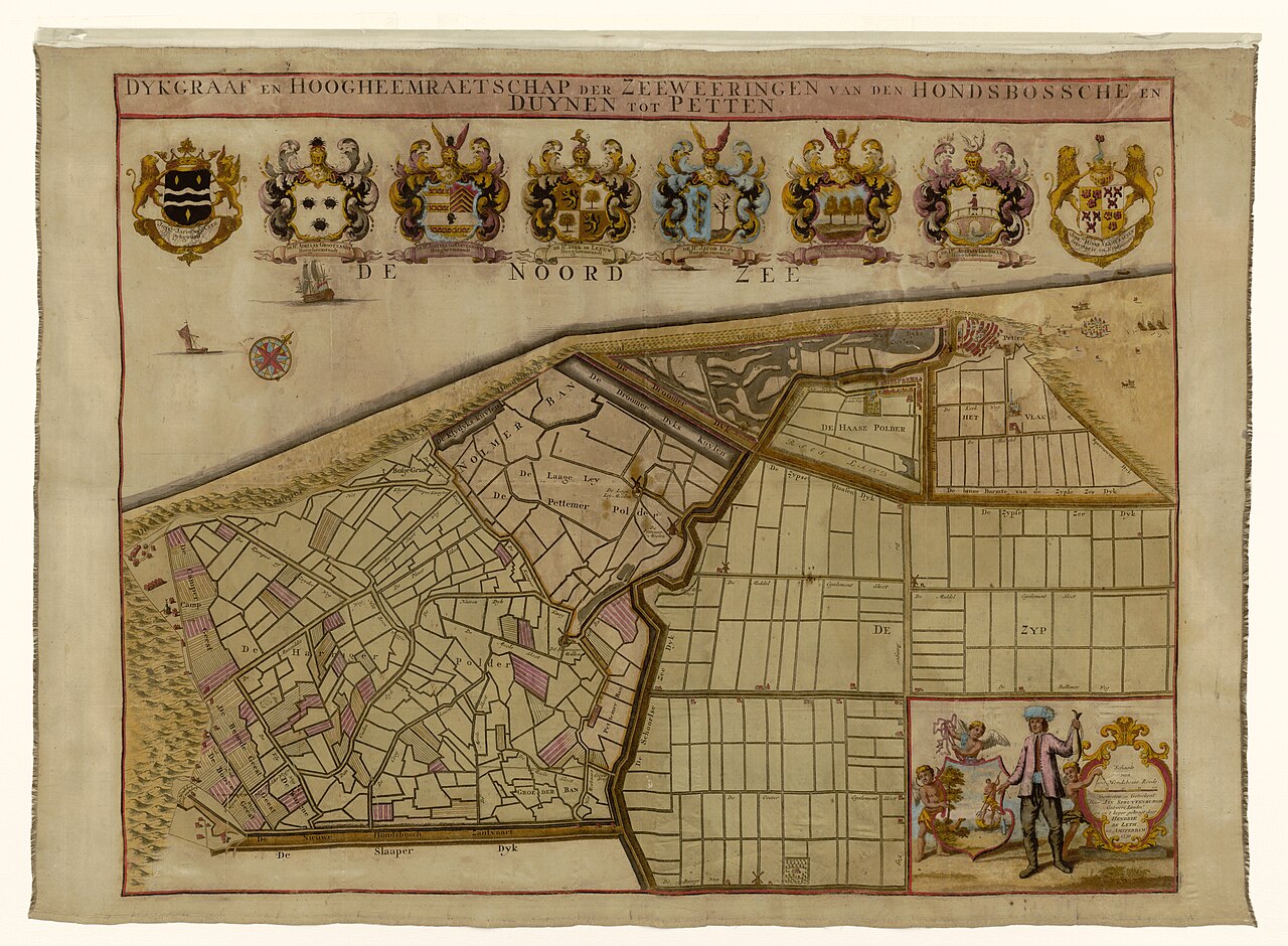
Historical map of the Hondsbossche sea defence, dunes and polders near Petten

Photo: Hendrik de Leth, after Jan Spruytenburgh

Credit: Map: Hendrik de Leth, after Jan Spruytenburgh, Rijksmuseum, via Wikimedia Commons, CC0

Licence: CC0 1.0

Changes: No changes.

Source ↗

Vanished places

The First Petten

Schagen

South of present-day Petten, a fishing village stood near the Hondsbosch in the Middle Ages. During the Saint Elizabeth’s Flood of 1421, the narrow coastal dunes broke through and the village and its Willibrord church disappeared. The present coastline lies farther inland than the landscape in which this first Petten once stood.

View this place
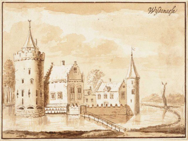
Eighteenth-century imaginative drawing of the lost castle of Wijdenes

Photo: Jacobus Stellingwerff

Credit: Drawing: Jacobus Stellingwerff, after Andries Schoemaker, Westfries Archives collection, via Wikimedia Commons, public domain

Licence: Public domain

Changes: No changes.

Source ↗

Vanished places

The Lost Castle of Wijdenes

Drechterland

On the coast near Wijdenes stood a castle built by Count Floris V in the late thirteenth century. The stronghold probably existed for less than fifteen years. After his death, the castle was surrendered and completely dismantled. Later, even the former castle site disappeared beneath the Markermeer.

View this place
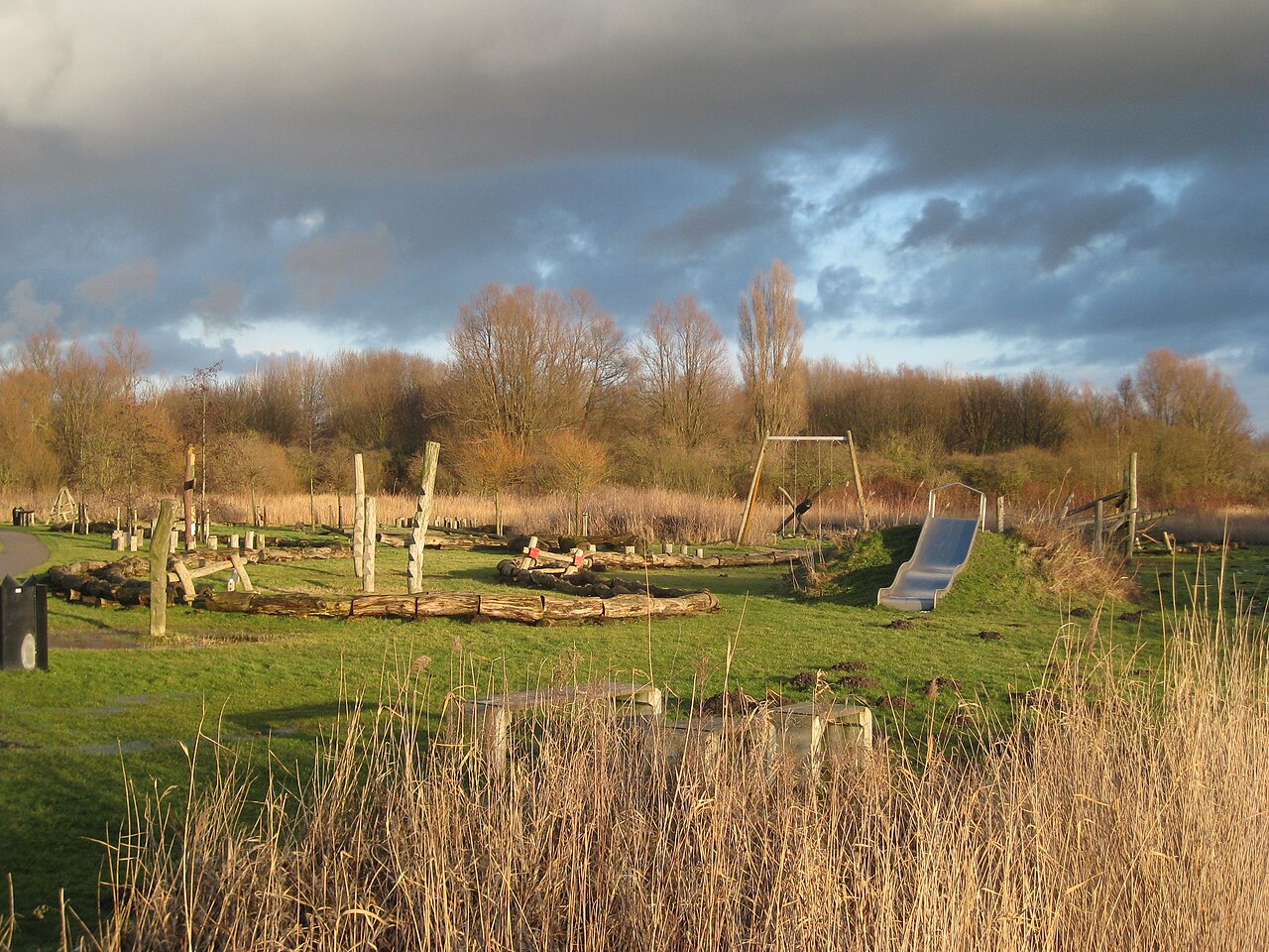
Rough vegetation and water in the Lange Bretten nature area in Amsterdam

Photo: Marion Golsteijn

Credit: Photo: Marion Golsteijn, via Wikimedia Commons, CC BY-SA 4.0

Licence: CC BY-SA 4.0

Changes: No changes.

Source ↗

Vanished places

Huis te Bretten

Amsterdam

For centuries, Huis te Bretten stood along the Haarlemmertrekvaart as an inn for travellers between Amsterdam and Haarlem. In 1837, the building had to make way for the Netherlands’ first railway line. The inn disappeared, but its name survives in De Bretten and in the artwork 'Deur naar het verleden'.

View this place
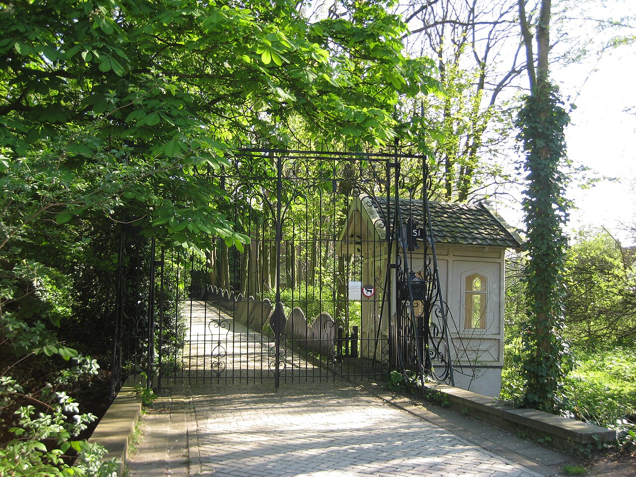
The entrance to Huis te Vraag cemetery on the Rijnsburgstraat in Amsterdam

Photo: Marion Golsteijn

Credit: Photo: Marion Golsteijn, via Wikimedia Commons, CC BY-SA 3.0

Licence: CC BY-SA 3.0

Changes: No changes.

Source ↗

Vanished places

Huis te Vraag

Amsterdam

Huis te Vraag is a historic cemetery in Amsterdam-Zuid, laid out on the grounds of a vanished country house. The house was demolished in 1890, but the name survived. Behind the gate, an old route, a burial ground and an overgrown city garden come together.

View this place
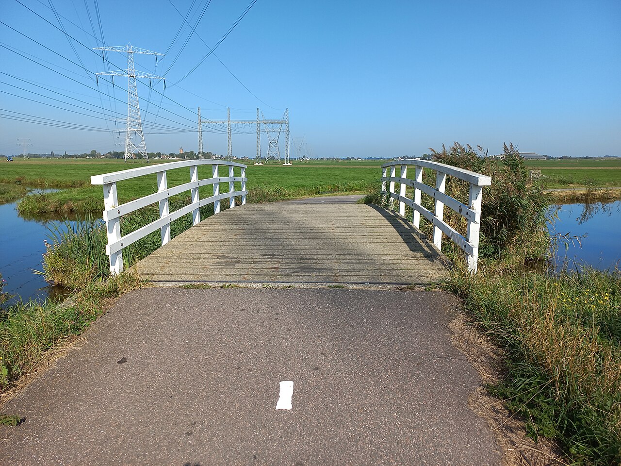
Bridge 2108 at the transition from the Volendammerweg to the Poppendammergouw in Amsterdam North

Photo: Ceescamel

Credit: Photo: Ceescamel, via Wikimedia Commons, CC0

Licence: CC0 1.0

Changes: No changes.

Source ↗

Vanished places

Poppendam, the Vanished Peat Settlement of Waterland

Amsterdam

Between Ransdorp and Zunderdorp lay Poppendam in the Middle Ages, an early peatland settlement beside the Poppendammer Die. As the peat was drained, the ground slowly subsided. Residents repeatedly raised their farmyards and floors until the settlement was eventually abandoned.

View this place
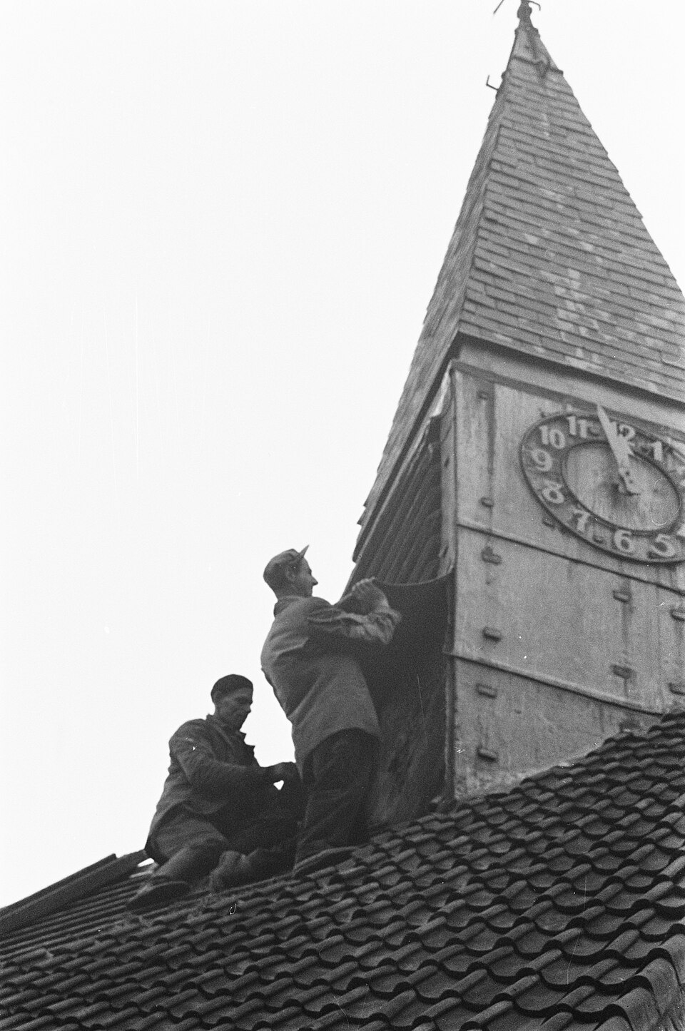
Demolition of the church tower in the village of Rijk during the expansion of Schiphol in 1959

Photo: Harry Pot / Anefo

Credit: Photo: Harry Pot / Anefo, Dutch National Archives, via Wikimedia Commons, CC0

Licence: CC0 1.0

Changes: No changes.

Source ↗

Vanished places

Rijk, the Village Lost to Schiphol

Haarlemmermeer

Where Schiphol’s airport landscape now stretches, the village of Rijk stood until 1959. As the airport required ever more space, not only houses and farms disappeared, but also schools, churches, shops and businesses. The residents left, the village centre was demolished and the name later returned in Schiphol-Rijk.

View this place
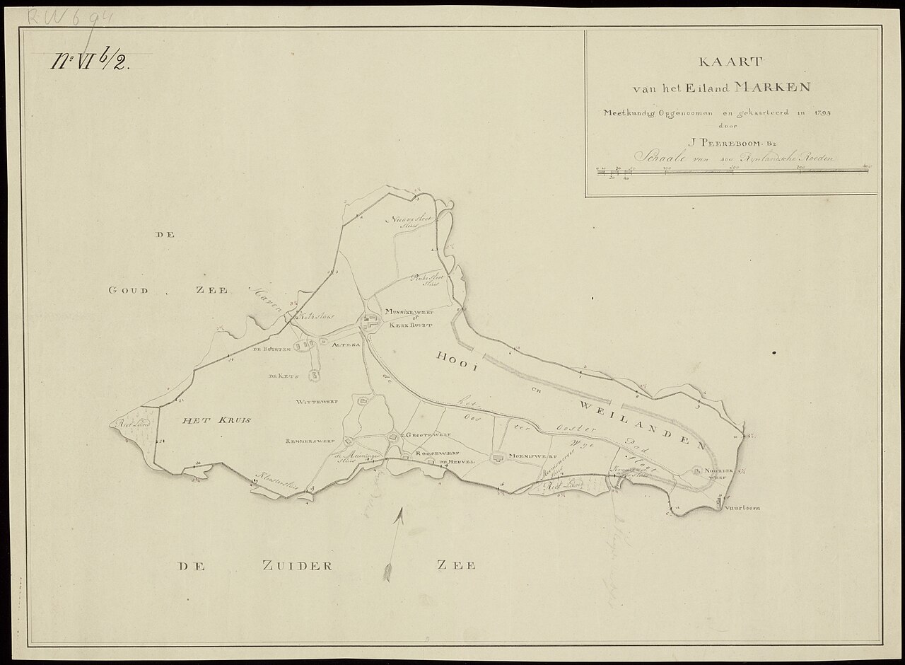
Historical map of Marken from 1793 showing the island’s former outline and dykes

Photo: Jan Peereboom

Credit: Image: Jan Peereboom, Noord-Hollands Archief, via Wikimedia Commons, public domain

Licence: Public domain

Changes: No changes.

Source ↗

Vanished places

Drowned Land near Marken

Waterland

Along the southern side of Marken, the island once extended beyond the present dyke. Thamiswerf, Houtemanswerf and Kraaienwerf disappeared during the eighteenth century through erosion, dyke breaches and the construction of retreat dykes farther inland. Open water now marks the place where an inhabited landscape once lay.

View this place
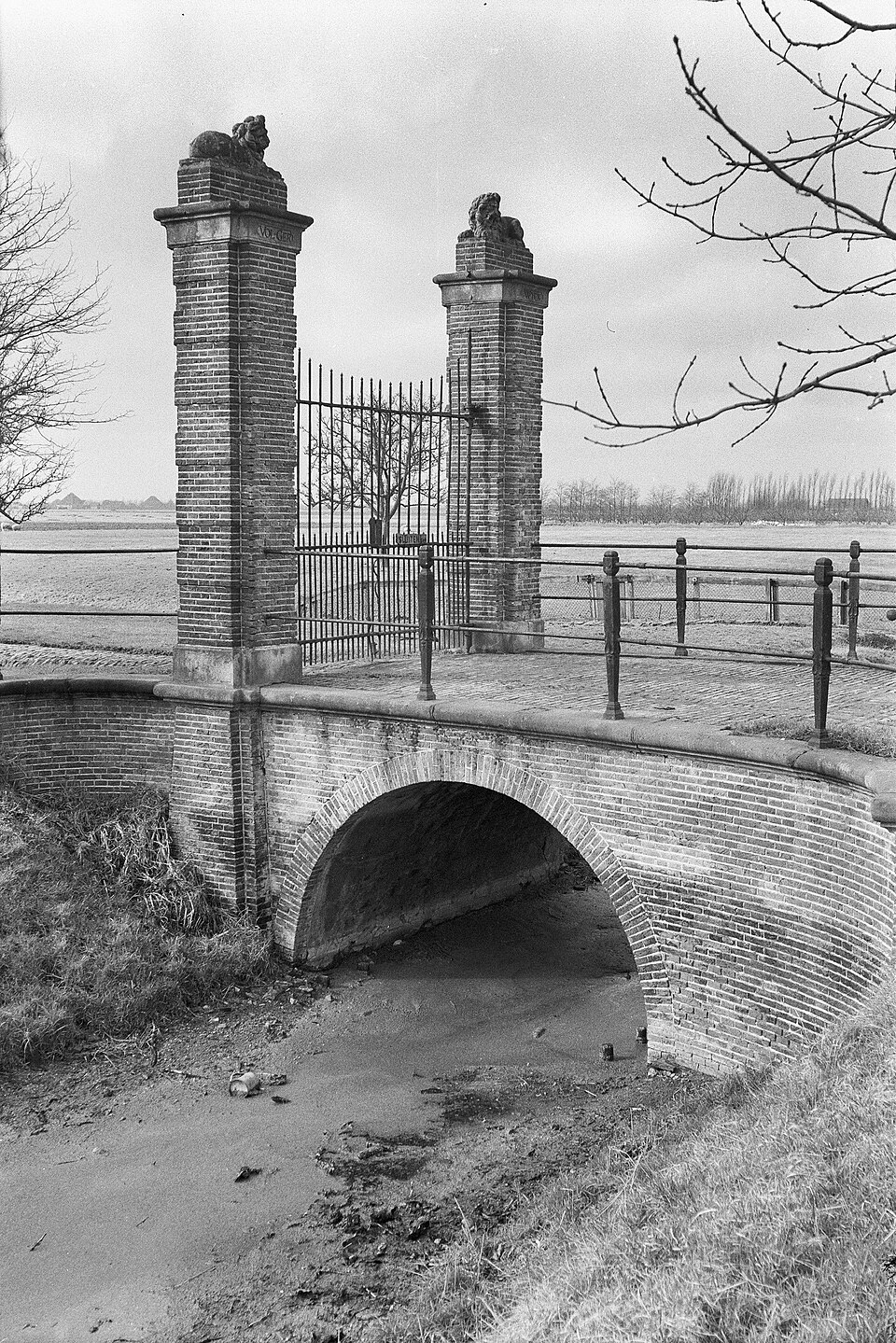
Historical photograph from 1959 showing the arched bridge and gateposts of the vanished Volgerwijck estate

Photo: Siebe Jan Bouma

Credit: Photo: Siebe Jan Bouma. Source: Rijksdienst voor het Cultureel Erfgoed, via Wikimedia Commons, CC BY-SA 4.0

Licence: CC BY-SA 4.0

Changes: No changes.

Source ↗

Vanished places

The Vanished Country Estates of the Beemster

Purmerend

Dozens of country estates once lined the Volgerweg, owned by wealthy Amsterdam merchants and administrators. Almost all of their houses and gardens have disappeared. At Volgerwijck, an arched bridge, gateposts, ditches and old plot boundaries still recall these former retreats.

View this place
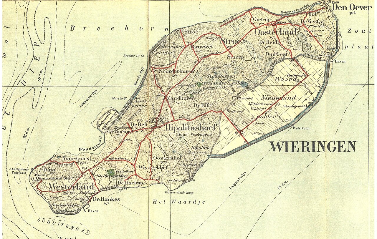
Topographical map from 1909 showing Wieringen as a complete island

Photo: Unknown creator

Credit: Image: unknown creator, via Wikimedia Commons, public domain

Licence: Public domain

Changes: No changes.

Source ↗

Vanished places

Wieringen’s Vanished Island World

Hollands Kroon

Wieringen still lies in the same place, but the island world that existed here for centuries has disappeared. In 1924, the Amsteldiepdijk connected the island with North Holland. The reclamation of the Wieringermeer and the construction of the Afsluitdijk then turned Wieringen into part of the mainland. Yet its rolling ground, winding roads and irregular field patterns still reveal where the old island once lay.

View this place
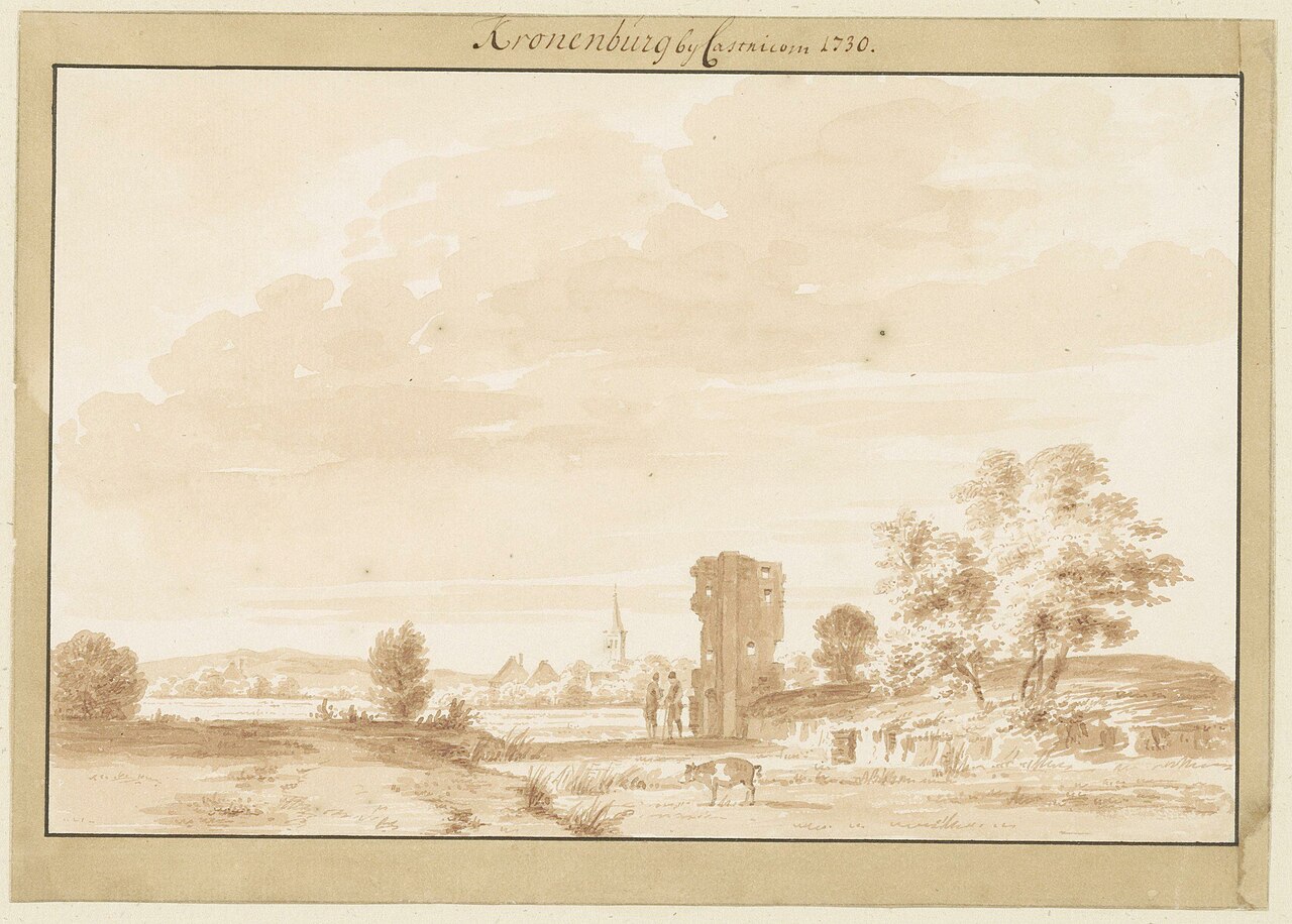
Drawing from 1730 showing the last ruins of Kronenburg Castle near Castricum

Photo: Abraham Rademaker

Credit: Image: Abraham Rademaker, Noord-Hollands Archief, via Wikimedia Commons, CC0

Licence: CC0 1.0

Changes: No changes.

Source ↗

Vanished places

The Lost Kronenburg Castle near Castricum

Castricum

Kronenburg Castle stood for centuries in the meadows south-east of Castricum. The moated castle had towers and a separate outer courtyard. No visible walls remain. Only old waterways, slight rises in the ground and buried foundations reveal where it once dominated the landscape.

View this place
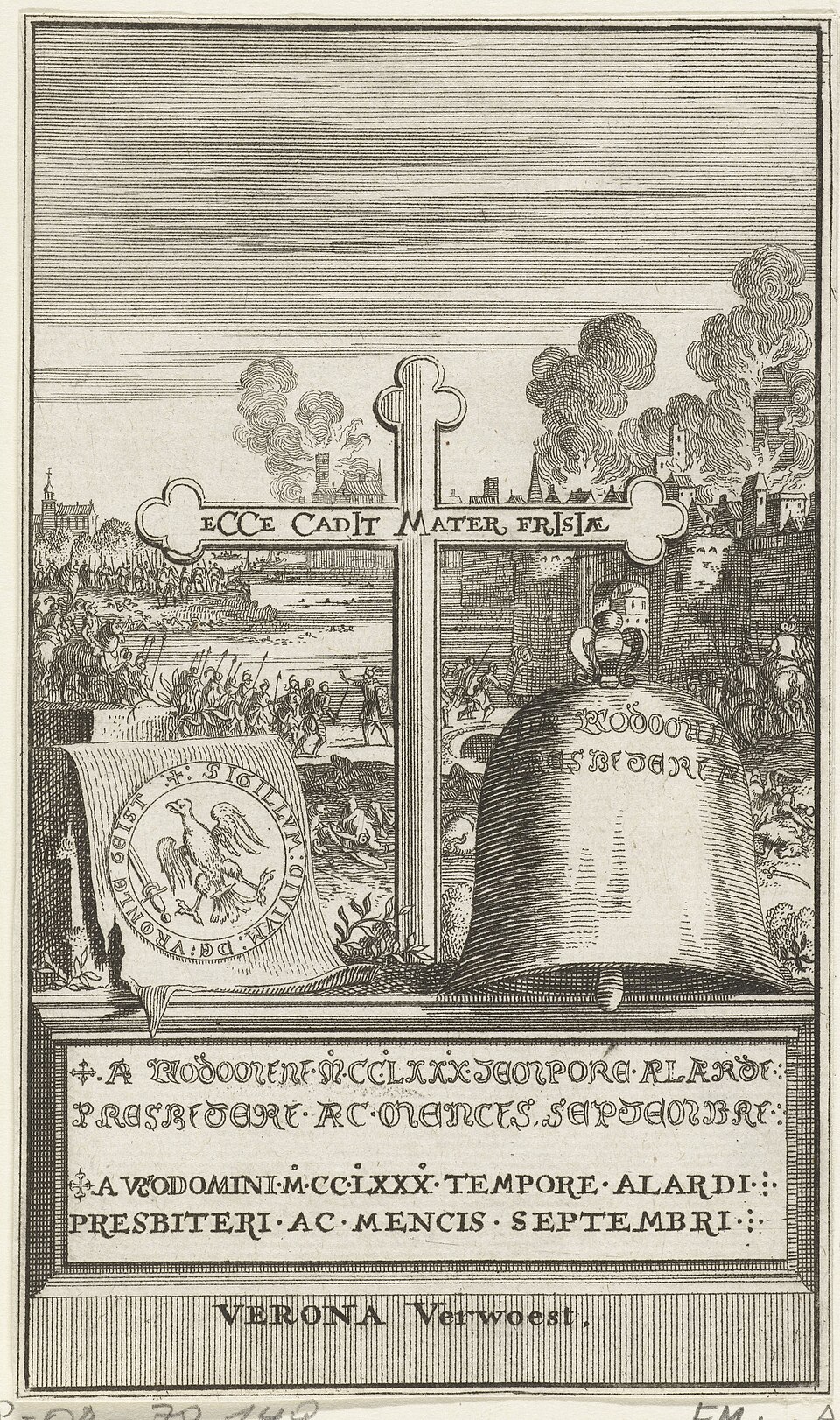
Eighteenth-century print with a symbolic representation of the destruction of Vronen

Photo: Anonymous printmaker, after Reinier van Persijn

Credit: Image: anonymous printmaker after Reinier van Persijn, Rijksmuseum, via Wikimedia Commons, public domain

Licence: CC0 1.0

Changes: No changes.

Source ↗

Vanished places

The Destruction of Vronen

Dijk en Waard

Beneath present-day Sint Pancras lie the remains of Vronen, a medieval village on an old beach ridge. After the Battle of Vronen on 27 March 1297, the village was destroyed and the surviving inhabitants were forced to leave. The houses and church disappeared, but the cemetery remained preserved beneath the present buildings.

View this place
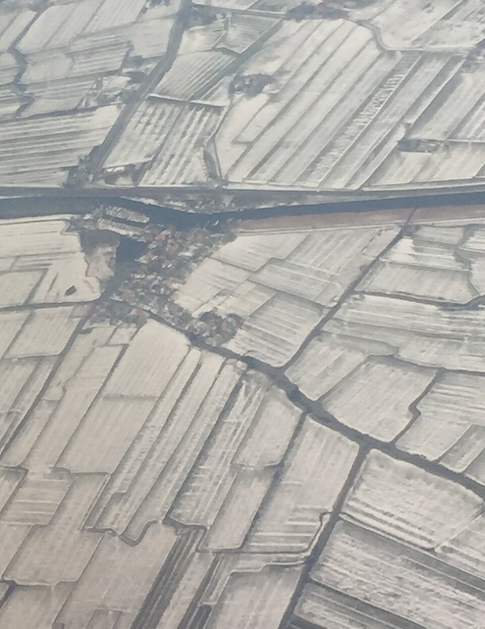
Aerial photograph of De Woude and the surrounding water landscape

Photo: Milliped

Credit: Photo: Milliped, via Wikimedia Commons, CC BY-SA 4.0

Licence: CC BY-SA 4.0

Changes: No changes.

Source ↗

Vanished places

Wouthuyse, vanished hamlet near De Woude

Castricum

Near De Woude once stood the small hamlet of Wouthuyse. Archaeological research revealed traces of seventeenth-century farmsteads and buildings. Part of the settlement probably disappeared when the Markervaart was dug in 1643. What remained now lies hidden beneath the present landscape.

View this place

Read the landscape as a historical source

Maps, archaeological traces and old waterways show that the landscape itself is an archive. A straight polder road may cross a vanished settlement, while a modern airport may have completely erased the outline of an old village.

Knowing the story beforehand helps you see more on site. An unremarkable field, dyke or ditch gains meaning once you know which houses, churches or fortifications once stood there.

Visit with respect for the place as it is today

Not every vanished location has been prepared as a visitor attraction. Some lie on farmland, in nature reserves or among modern buildings. Respect private property, access rules and vulnerable archaeological remains.

The experience is not about finding as many remains as possible, but about understanding the change. Look at what is there now and imagine what had to disappear before it. From the village of Rijk near Schiphol and vanished castles to Vronen, Kronenburg and old Petten, these places show that North Holland was not only built, but repeatedly erased and reshaped.

Discover more

Explore the other themes

Alongside vanished places, discover almost-forgotten heritage, strange stories, sacred places, ancient structures, remarkable nature and landscapes shaped by water.