
The story of this place
A settlement beside a peatland waterway
Poppendam lay in the open peatlands north of Amsterdam. The area originally consisted of extensive marshes in which peat had accumulated over many centuries. Natural peatland waterways crossed the landscape, including the waterway later known as the Poppendammer Die. Medieval inhabitants began reclaiming the surrounding land along such waterways.
The first settlers dug ditches from the water into the peat. Water could drain away and the upper soil became usable for settlement, livestock and limited agriculture. Long narrow plots developed at right angles to the reclamation base. This pattern of ditches and fields remains recognisable in Waterland today.
A line of farms and yards developed beside the Poppendammer Die. This early settlement later became known as Poppendam. Houses probably stood on small raised areas beside the water. The waterway provided connections with other places and supplied water for people and animals. Early peat settlements were far harder to reach over land.
Living on subsiding ground
Living on drained peat created a persistent problem. As peat dries, it loses volume. The soil compresses and the surface falls. Farmyards consequently became wetter while houses slowly subsided. A location that initially offered favourable conditions beside a waterway was transformed by the reclamation and use of the landscape itself.
The inhabitants of Poppendam did not abandon their houses immediately. They added soil and clay and constructed a new living surface above a sunken floor. When that layer also subsided, another raising followed. Archaeologists found five superimposed floor levels at one investigated house site. Each floor marked another attempt to keep the same yard usable.
The houses were built of timber and had floors of compacted clay. What survived of the buildings were mainly postholes, occupation layers and refuse in the soil. Pottery helped date the settlement. The finds indicate a medieval community that probably emerged during the eleventh century and certainly continued into the twelfth.
Why Poppendam disappeared
Poppendam was not a compact stone village with a square, church and dense buildings. It was a dispersed peat settlement extending along a waterway and reclamation line. Farms stood some distance apart. Yards, small fields and grassland surrounded the houses. Livestock farming probably played a major role because wet peat soil was better suited to grass than intensive crop cultivation.
The ground continued to subside. Ditches had to be maintained and yards raised again. The relationship between the land and surrounding water became increasingly unfavourable. Water problems grew while maintaining the habitation sites required greater effort. A single flood probably did not destroy Poppendam. The settlement gradually lost its practical advantages.
At the same time, settlement patterns in Waterland changed. Houses became increasingly concentrated along better-raised roads, embankments, dykes and new village ribbons. Ransdorp and Zunderdorp developed where homes and connections could be maintained more effectively. The old house sites at Poppendam fell out of use and eventually disappeared from the surface landscape.
The name did not disappear completely. The administrative district of Ransdorp later consisted of several quarters, including Poppendam. The Poppendammergouw and Poppendammer Die also retained the former settlement name. A habitation site that vanished above ground therefore survived in administrative divisions, road names and water names.
What archaeologists recovered
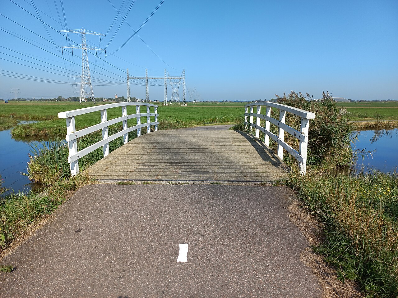
Construction of a cycle path in 1985 provided an opportunity to examine two former house sites. Successive floor levels appeared beneath the surface. They were not monumental walls or complete buildings, but thin layers showing how residents coped with a sinking ground surface. These ordinary traces made Poppendam archaeologically remarkable.
The research also showed that the present village ribbons were not necessarily the first inhabited places in Waterland. Early house sites could be abandoned while habitation continued along a different line. Ransdorp and Zunderdorp acquired lasting forms, whereas Poppendam became a deserted settlement beneath the meadows.
What can still be read today
Nothing in the present landscape clearly marks the habitation site. There are no ruins and no recognisable village mound. Meadows, ditches and scattered farms dominate the view. The openness makes it difficult to imagine that a line of timber houses once stood beside a peatland waterway.
Along the Poppendammergouw, notice the low fields and ditches extending deep into the land. They belong to the same reclamation process that made Poppendam possible and later placed it under pressure. The inhabitants drained water to make the ground usable. In doing so, the peat beneath their houses eventually shrank and subsided.
No spectacular walls lie beneath the grass, but fragile layers of clay, peat and occupation debris. They preserve the repeated rhythm of subsiding, raising and starting again. Poppendam did not disappear during one dramatic event. The settlement slowly fell out of use while new and more sustainable settlement ribbons developed elsewhere.