
The story of this place
Living among the old dunes
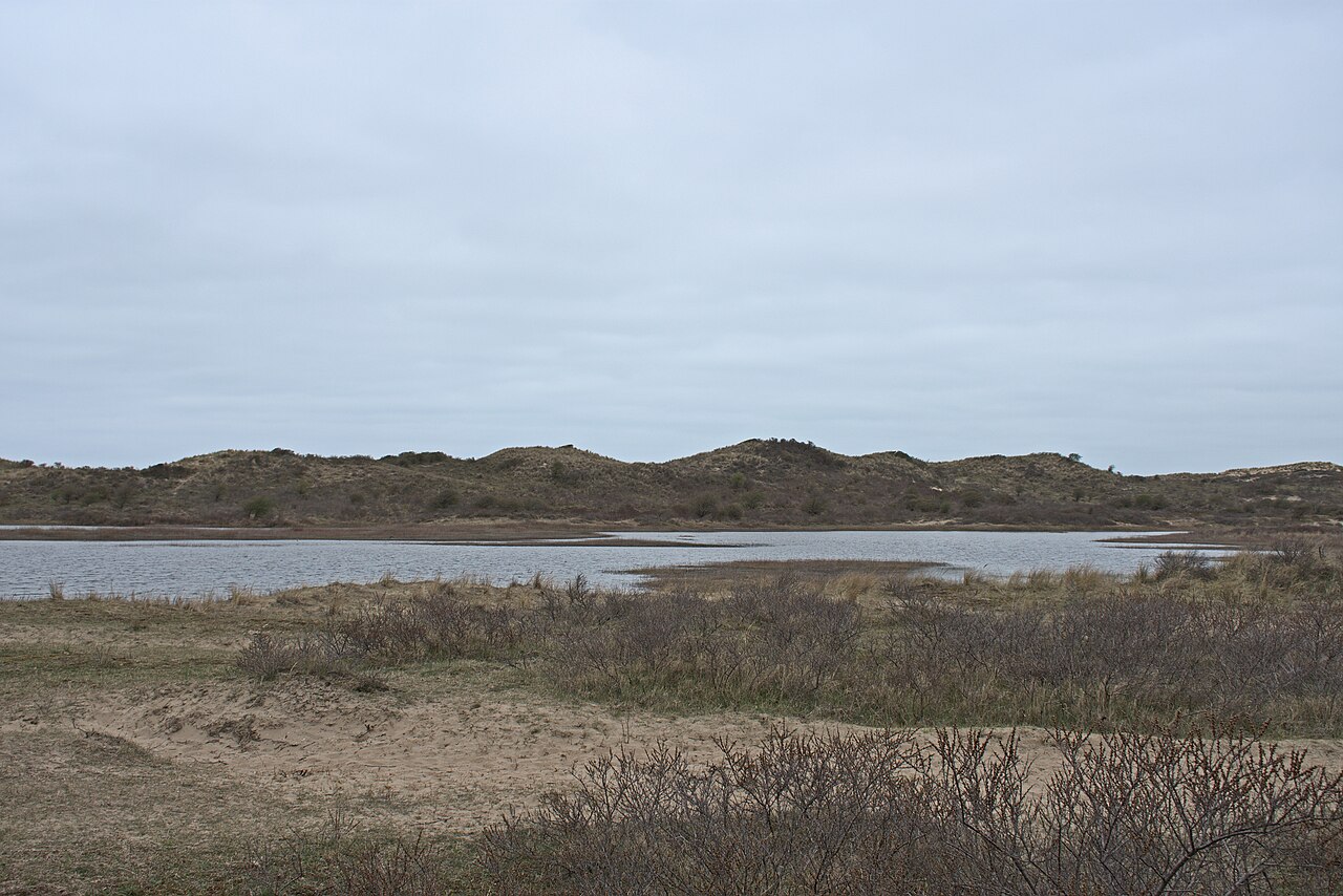
Groot Olmen lies deep within the Kennemer dunes. Sandy hollows, dune slopes, scrub and water now shape the landscape. During the Early Middle Ages the surroundings looked different. Damp valleys with grassland, woodland and fresh water lay between low older dunes. Farmers began settling on the sheltered ground between the dunes around 450.
The inhabitants built elongated timber byre houses. People lived in one part of the building while livestock occupied the other. One excavated farmhouse measured about 31 metres. Its walls consisted of overlapping timber planks. This construction differed from the woven branches and clay commonly used elsewhere in the coastal region and shows how carefully the inhabitants adapted their houses to the available materials.
Farmyards, small fields and pastures surrounded the houses. Plough marks show where the land was cultivated. Cart tracks and hoofprints reveal how people and animals moved through the valley. A pool provided drinking water for livestock. The sheltered hollows allowed people to live, work and keep animals without being constantly exposed to the harsh winds of the open coast.
The settlements were not temporary camps. Several generations lived here. Houses were rebuilt, farmyards shifted and former habitation areas were later used as fields. This created a dense pattern of occupation traces within the same area. Groot Olmen was not a village with one fixed centre, but a settlement landscape in which farms and yards gradually changed position.
Farming in a connected coastal landscape
The inhabitants were not cut off from the outside world. Some of the pottery came from the Rhineland. Such finds point to contacts with trading networks beyond the dunes. Goods could move along the coast, rivers and regional markets. The people of Groot Olmen lived in a sheltered dune setting but formed part of a wider early medieval network.
Daily life centred mainly on agriculture and livestock. Cattle provided meat, milk, hides and draught power. Sheep and goats could graze on poor soils that were less suitable for crops. Small fields produced grain and other plants. Timber from the surrounding landscape was used for houses, fences and tools. The dunes were not an empty wilderness but a carefully used living environment.
How the sand overtook the settlement
The landscape changed during the Early Middle Ages. Some soils became drier and prolonged use may have made vegetation and loose sand more vulnerable. Wind and sand movement gained greater influence. From the final phases of occupation and especially during the centuries that followed, younger dunes formed and advanced across the older valleys. Sand filled hollows, covered fields and sealed abandoned habitation areas.
Occupation probably did not end in a single sudden disaster. The landscape gradually became more difficult to use. Fields were covered by sand, watering places changed and new dunes cut off parts of the terrain. Farmhouses were abandoned and eventually no longer replaced. Habitation therefore disappeared from the valley step by step.
Everything standing above ground was lost. Timber walls collapsed, were dismantled or decayed. Roofs disappeared and timber posts left only discolourations in the soil. Beneath the sand, postholes, hearths, plough marks, cart tracks and refuse remained. The same sand layers that hid the old habitation areas protected many remains from later disturbance.
For centuries nothing from the settlements could be seen at the surface. The younger dunes developed into the landscape that now appears so natural. No visible walls, ruins or earthworks recalled the former occupation. The settlements disappeared not only from the landscape but also from memory. Only the soil preserved where the houses, farmyards and fields had stood.
The settlements reappear
In 2002, a nutrient-rich surface layer was removed at Groot Olmen. The aim was to restore open dunes and natural sand movement. The wind then regained control of the sand. In the autumn of 2004, unusually large quantities of pottery, bone and other archaeological material were found across the area. This led to further investigation and excavations in 2005, 2006 and 2007.
Several archaeological sites were uncovered across an area of about ten hectares. Archaeologists identified house plans, cultivated soils, watering places and traces of roads and farmyards. The successive remains made clear that this was not the site of a single farm, but an extensive settlement landscape used for several centuries.
A vanished world beneath the dunes
The finds offer a rare view of daily life in the western Netherlands after the end of Roman rule. Written sources from this period mainly concern rulers, warfare and religious institutions. Far less is known about ordinary farming families. Groot Olmen reveals their world instead: houses, livestock, fields, everyday objects and paths through the sand.
Nothing from the occupation remains standing. Nor were the excavation areas left as open ruins. Wind, sand and vegetation once again shape the site. Notice the sheltered hollow between the higher dunes and do not imagine empty nature there. Long farmhouses, small fields and busy tracks once lay beneath this quiet sand. Groot Olmen slowly vanished from sight but remained preserved beneath the dunes.