
The story of this place
A hamlet in the peat
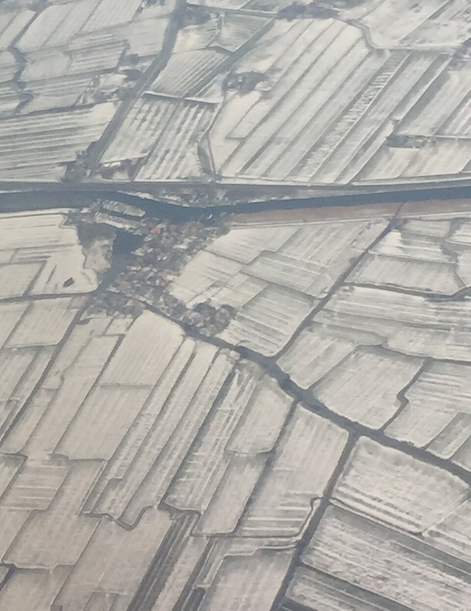
Wouthuyse was a small hamlet near De Woude, on the edge of the Alkmaardermeer and the present Markervaart. On seventeenth-century maps it appears as a modest group of houses in a low peat landscape. Water, ditches, vulnerable farmsteads and navigation routes lay close together. Settlement was possible only by continually draining and raising the ground and protecting it against flooding.
De Woude is now a small island in the Alkmaardermeer, reached by ferry. That island position did not arise naturally. The area formed part of an extensive peat landscape in which the boundary between land and water continually shifted. Quays, dykes, ditches and artificial waterways determined where people could live and how they reached their farmsteads.
Wouthuyse stood on part of this peat area. Its name may refer to woodland or marsh woodland on the wet ground. Peat was not only a difficult foundation, but also a source of income. It was cut for fuel, while ditches drained the surrounding land. Drainage caused the surface to subside and made it increasingly vulnerable to water.
What the soil revealed
Archaeological research near the N246 and the approach to the ferry brought the hamlet back into view. No substantial stone village centre was found, but a collection of more modest traces: ditches, pottery, brick, a raised farmstead and the remains of a building. Such finds are precisely what might be expected from a small settlement in a wet peat landscape.
The soil preserved several periods. During construction of the N246 in 1957 and 1958, remains of Roman-period settlement had already been found nearby. They lay almost directly on the peat and were covered by grey clay deposited during later flooding. Centuries afterwards, the farmsteads of Wouthuyse were established above this older settlement layer. Modern roads and junctions then formed the latest layer.
In the late Middle Ages, the peat had been cut in long strips for fuel. The remaining trenches were later filled with clay. Fragments of brick and pottery occasionally occurred within this material. A later period of flooding deposited another layer of clay. This firmer surface was subsequently used for new settlement.
A clay platform was constructed for one of the houses. It contained rubble and pottery largely dated to around 1600. Timber posts on the platform rested on brick supports. Shallow brick foundations belonging to a side wall and an internal wall were also uncovered. The building, aligned roughly east-west, probably had three aisles. Combining timber with brick was practical on ground that remained wet and had little bearing capacity.
Six houses along a narrow road
A map from 1680 gives the hamlet a more concrete appearance. A narrow road ran approximately north to south. Three houses stood on either side, with their front elevations facing the road. The excavated remains are probably connected with the northwestern plot of this small cluster. Other farmsteads may lie beneath the present ferry approach or may have disappeared in wet ground that was later disturbed.
Wouthuyse therefore consisted of no more than a few houses and farmsteads between peat, clay and water. It was neither a church centre nor a market settlement and left few written records. Daily life formed part of a small network of farming, peat cutting, water transport and connections with neighbouring settlements.
The Markervaart cuts through the old land
The construction of the Markervaart brought a major change. In 1643, a new navigation route was dug during the reclamation of the Starnmeer. This cut off part of the peat island of De Woude. A section of Wouthuyse appears to have disappeared during the digging of the canal. The new waterway improved transport, but at the same time cut through older inhabited land.
The hamlet probably did not disappear in a single moment. Peat extraction had already altered the soil, floods deposited new layers of clay and the canal shifted the boundary between land and water. Later road construction and other works covered or damaged the remaining traces. The finds mainly indicate seventeenth-century occupation, although pottery from around 1600 raises the possibility that houses stood here earlier.
What remains today
Nothing of Wouthuyse is now recognisable above ground as a village. The N246, the ferry approach and the Markervaart dominate the view. Yet beneath and beside this modern infrastructure lies the plan of an older landscape. Brick supports, pottery and a clay platform mark the site of a former farmstead. Old maps add a narrow road and six houses. Together, these fragments show that the open water and polder landscape around De Woude once contained a small hamlet that gradually disappeared.