
The story of this place
A village near the Hondsbosch
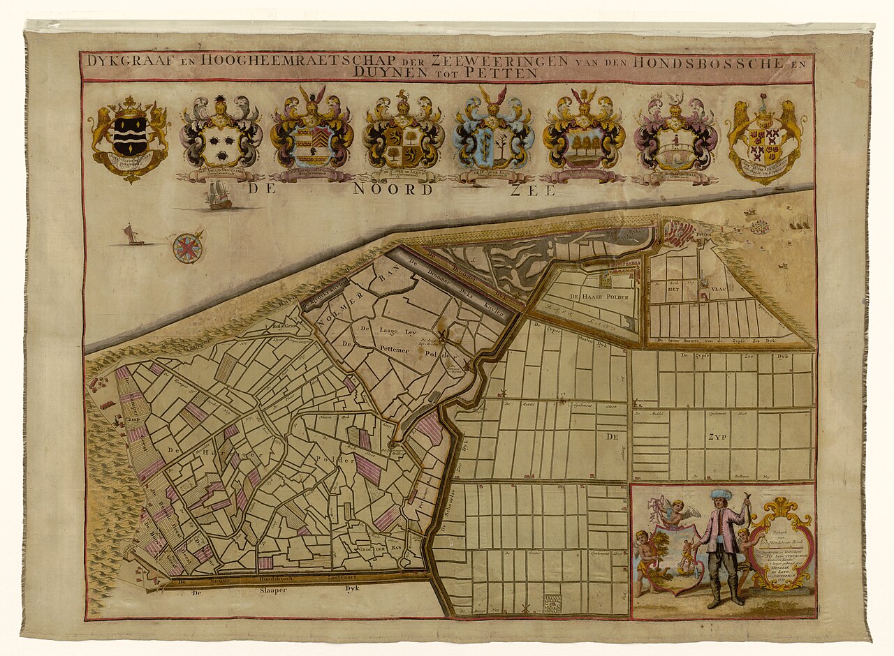
South of present-day Petten, a medieval village stood beside a dune area known as the Hondsbosch. Historical records refer to the settlement as Petten dat Hontsbosch hiet. Its precise relationship with names such as Petten in Nolmerban remains debated, but historical reconstructions place this early settlement approximately one and a half to two kilometres south of the present village and closer to the former shoreline.
The village occupied a landscape very different from today’s broad coastal zone. A narrow and vulnerable line of dunes separated the sea from the low polders. Behind it ran dykes, waterways and routes towards Schoorl and the inland settlements. The coastline lay farther west than it does today. Between dunes, beach and low ground developed a community dependent on fishing, farming and movement along the coast.
Church, fishermen’s yards and coastal life
A church dedicated to Saint Willibrord stood in the village. The presence of a stone church shows that this was more than a temporary fishing camp. Houses, yards, paths and probably a churchyard surrounded it. Fishing boats were hauled onto or near the beach, while timber from the dunes may have supplied fuel for beacons and fish smoking. The first Petten was small, but closely connected with the sea, dunes and hinterland.
Farther north, a second settlement known as Petten bi der Sijpe developed during the thirteenth century. The older village consequently acquired a more specific name. These different names and administrative divisions later caused confusion. Medieval accounts refer to separate districts and settlements, but not every name necessarily denotes a different village. What is clear is that the old settlement near the Hondsbosch lay south of the Petten from which the present village developed.
The Saint Elizabeth’s Flood of 1421
During the night of 18 to 19 November 1421, the St Elizabeth’s flood struck the coast. The narrow dunes near Petten were breached. Seawater flooded the land behind them and the village near the Hondsbosch was lost. Later accounts of the County of Holland recorded that Petten had ceased to exist because it had been inundated by the sea. The church disappeared as well and was rebuilt several years later farther north at Petten bi der Sijpe.
The disaster became associated with a story of hundreds of inhabitants seeking refuge in the church and drowning there. Church treasures were also said to have been recovered near Bergen after the flood, giving rise to the tradition of the Holy Blood of Bergen. These accounts form part of the cultural memory of the disaster. Historical sources support the destruction of the village and church in 1421, but the number of victims and elements of the miracle story are less certain.
A new coastal defence
After the flood, efforts were made to close the coastline again. The dunes were repaired and a dyke was constructed behind the damaged coastal strip. These successive defensive works eventually developed into the Hondsbossche sea defence. The barrier protected the land behind it, but could not restore the vanished village. Its former site remained outside the new line of defence and was erased by continuing erosion and shifting sand.
The first Petten should not be confused with later settlements that also disappeared through coastal erosion or human intervention. A successor village was badly affected by the sea in 1625. Centuries later, a newer settlement was demolished during the Second World War for German defensive works. Petten’s history therefore consists of several relocations and vanished phases of settlement, with the precise count depending on which sites are regarded as separate versions of Petten.
What the sea left behind
Nothing visible above ground can now be assigned with certainty to the first village. No foundation, church floor or gravestone marks its site. The probable location lies seaward of the present coast or beneath later coastal deposits. The Palendorp monument on the beach does not stand on the precise site of this oldest settlement either. It commemorates vanished Petten more generally and mainly evokes the later village pushed back by the sea.
The lost landscape becomes clearest when the present coast is no longer regarded as a permanent boundary. From the dunes, look towards the sea and imagine the shoreline farther west. Behind that former beach stood a church, fishermen’s houses and yards. Where waves now break and newly deposited sand protects the coast, the earliest known Petten once stood.