Skip to content
The Netherlands Beneath Your Feet

Theme

Remarkable natural areas in North Holland

Remarkable nature arises from a combination of soil, water, wind, salt, management and time. Within short distances, North Holland contains exceptionally varied habitats, from wet dune slacks and tidal flats to lowland peat lakes and urban-edge wilderness. Each place has its own species and its own best season. This theme page helps you choose natural areas in North Holland by landscape, species and time of year. The monthly information on the detail pages provides guidance, but wildlife always remains dependent on weather, water levels and chance.

Natural areas to discover ↓

Landscapes with sharp transitions

Much of North Holland’s richness lies in transitions. Dry dunes border wet slacks, fresh water meets brackish areas, and open grassland gives way to reeds or scrub. It is precisely along such boundaries that many plants, birds and insects find food, shelter and breeding habitat.

A small area can therefore support a remarkable number of species. Anyone who looks only at the centre of a landscape often misses its most valuable edges. Pay attention to changes in height, moisture, vegetation and soil.

Nature management is a visible part of the story

Many areas would change quickly without management. Mowing, turf stripping, grazing, water-level management and closing breeding areas help maintain vulnerable conditions. That does not make nature any less real. Instead, it shows that rare species often depend on carefully chosen interventions in a landscape shaped by people for centuries.

Grazing animals, mown fields, weirs and temporary fences are therefore not interruptions to the story but part of it. They show how nature management preserves the conditions on which vulnerable species depend.

From dunes and tidal flats to peatland and the urban fringe

The areas on this page show how varied North Holland’s landscapes can be. De Muy, De Slufter, Zwanenwater, Schoorlse Duinen and Amsterdamse Waterleidingduinen show how wind, sand and groundwater shape the coast. Balgzand, by contrast, is governed by salt water and the tides.

Inland, the landscape revolves around lowland peat, ditches, reeds and open grassland. Naardermeer, Ilperveld, Eilandspolder and Wormer and Jisperveld are water-rich cultural landscapes in which nature and centuries of human use cannot be separated. The Lange Bretten and De Vijfhoek show how much nature can also develop on the urban fringe.

Species follow their own calendar

Not every animal or plant is equally visible throughout the year. Breeding birds return in spring, orchids flower only briefly and large groups of migrants appear depending on season, weather and water levels. Even within a single month, an area can suddenly look completely different.

Use the monthly information on the detail pages as a viewing guide rather than a promise. This information helps indicate where and when you may encounter a species, but nature cannot be ordered to appear.

What kind of nature experience are you looking for?

You choose a different area for open dunes and long walks than for watching birds on the tidal flats, observing from a bird hide or travelling through peatland by boat. The selected locations differ in accessibility, terrain, tranquillity and the best time to visit.

Read in advance what you can see on site and how to reach the area. This prevents you from expecting an unrestricted walk in a vulnerable bird reserve, or planning only a brief stop in a landscape that becomes truly legible only during a longer visit.

Natural areas to discover

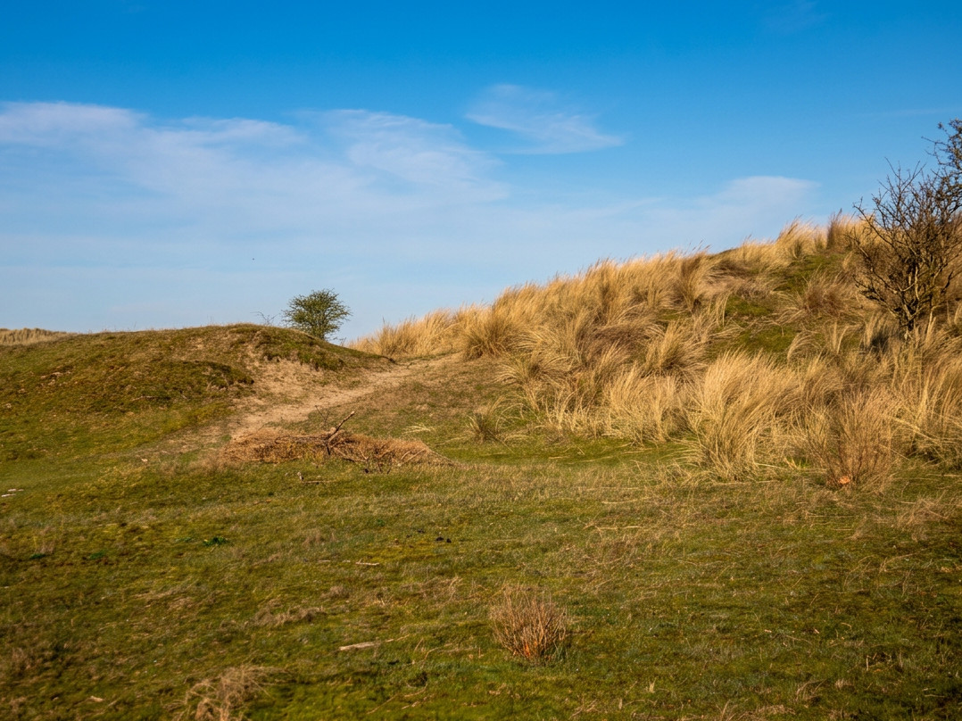
Dune landscape with water, sand and vegetation in the Amsterdam Water Supply Dunes

Photo: Willem Reinier de Jong

Credit: Photo: Willem Reinier de Jong / Nederland Onder Je Voeten

Changes: No changes.

Remarkable nature

Amsterdam Water Supply Dunes

Zandvoort, Bloemendaal and Noordwijk

Between Zandvoort and Noordwijk lie the Amsterdam Water Supply Dunes: an extensive dune landscape of open sand, flower-rich grasslands, wet valleys, scrub, woodland and long water channels. Water for Amsterdam has been extracted and purified here since 1853. Pre-treated river water filters through the dune sand before continuing to the treatment plant at Leiduin. Fallow deer, sand lizards, natterjack toads, nightingales, woodlarks and countless insects live among the channels.

View this place
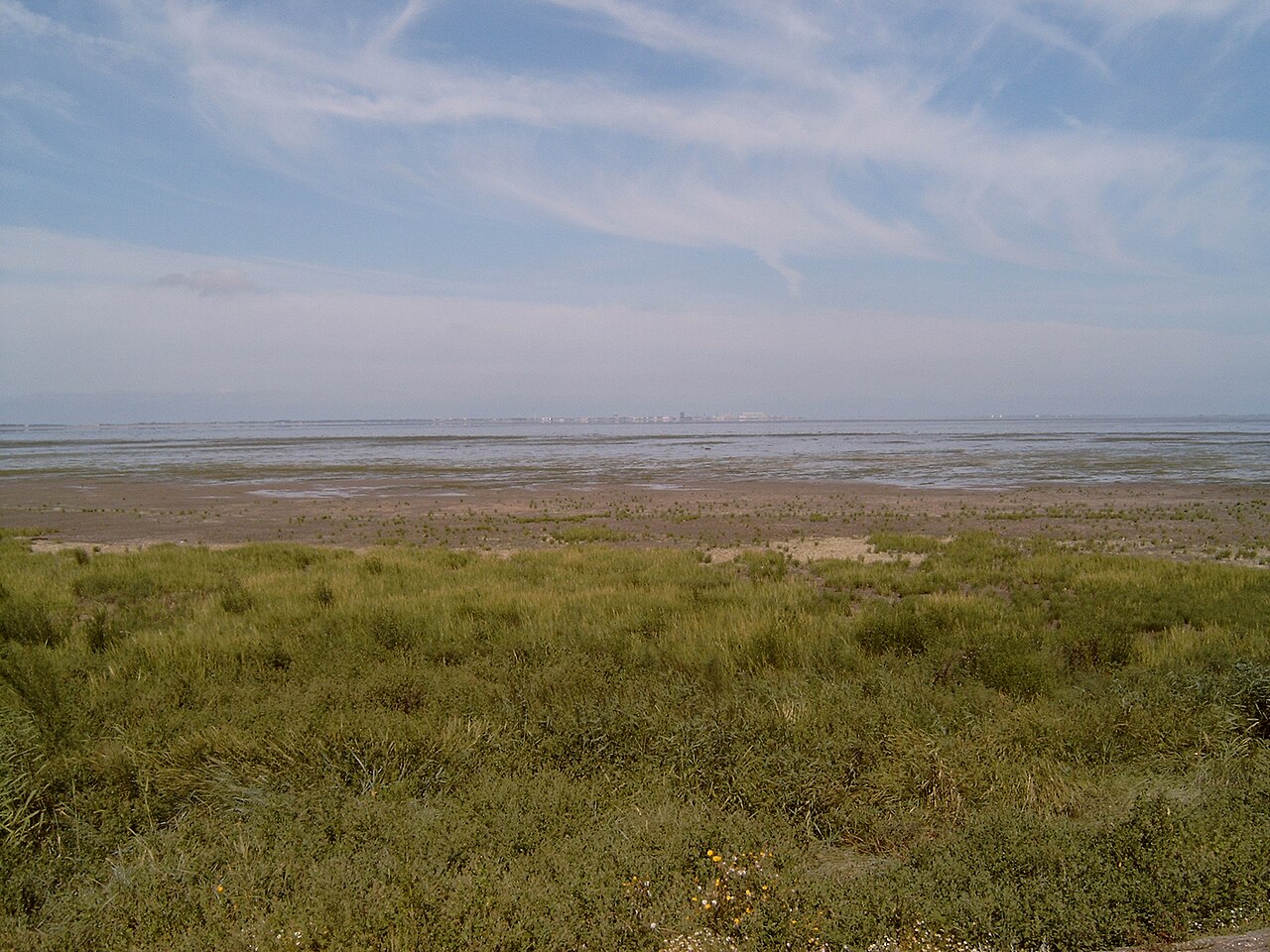
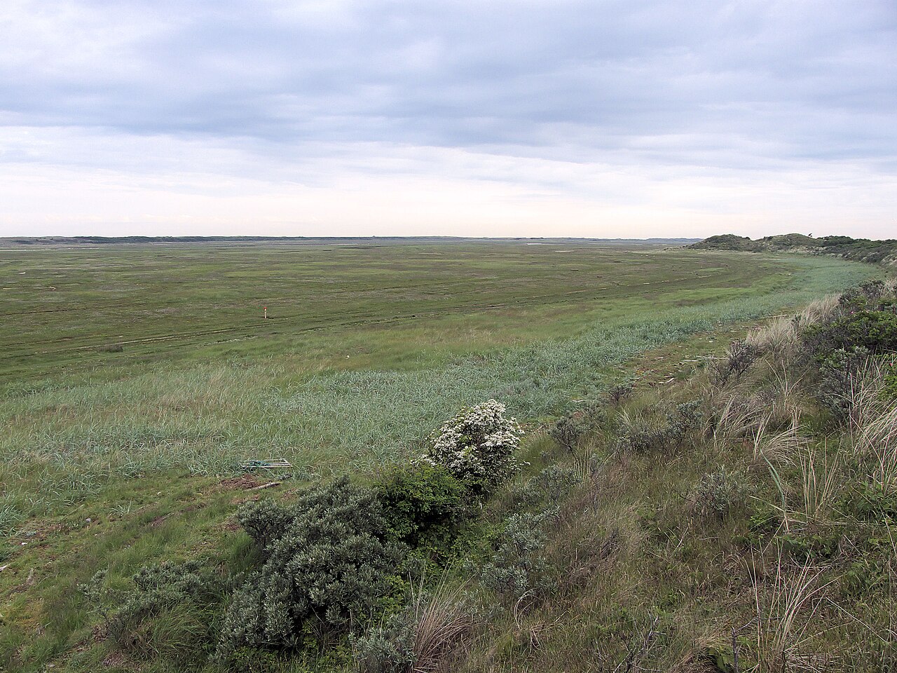
Tidal flats, channels and bird-rich salt marshes at Balgzand

Photo: Michielverbeek

Credit: Photo: Michielverbeek, via Wikimedia Commons, CC BY-SA 3.0

Licence: CC BY-SA 3.0

Changes: No changes.

Source ↗

Remarkable nature

Balgzand

Den Helder and Hollands Kroon

Between Den Helder and the former island of Wieringen lies Balgzand, an extensive landscape of tidal flats, channels, salt marshes and saline grassland. At low tide, thousands of birds spread across the exposed flats in search of shellfish, worms and small crustaceans. As the tide rises, they move towards the dyke and other high-tide roosts. Around high tide in particular, it becomes clear why Balgzand is one of the richest bird areas in North Holland.

View this place
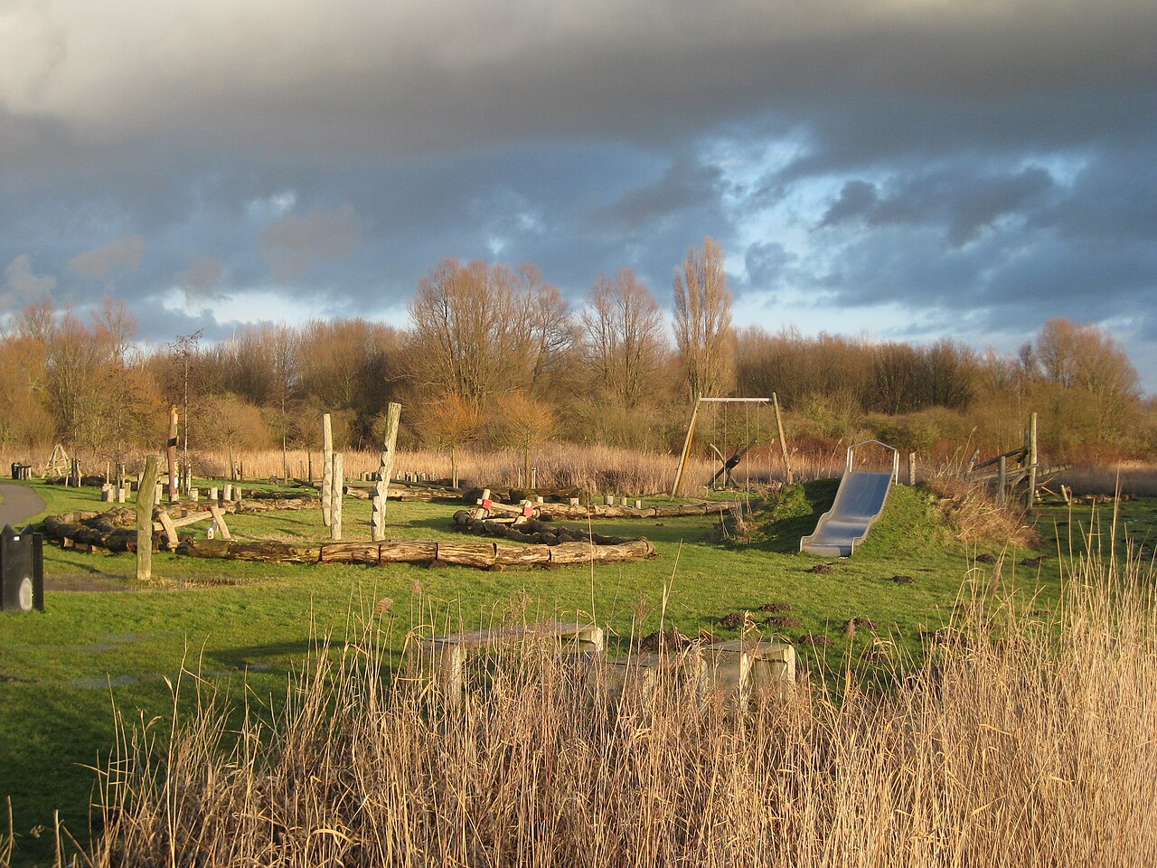
Rough vegetation and open space in the Lange Bretten in Amsterdam-West

Photo: Marion Golsteijn

Credit: Photo: Marion Golsteijn, via Wikimedia Commons, CC BY-SA 4.0

Licence: CC BY-SA 4.0

Changes: No changes.

Source ↗

Remarkable nature

The Lange Bretten

Amsterdam

Between Sloterdijk and Halfweg, the Lange Bretten forms a long strip of urban wilderness made up of reeds, scrub, water, muddy paths and open grassland. Railway lines, harbour fringes and residential districts are never far away, yet a surprisingly rich natural area has developed between them. Bluethroats, pine martens, waterbirds, insects and large grazing animals all find space in a landscape that looks wild but is carefully managed.

View this place
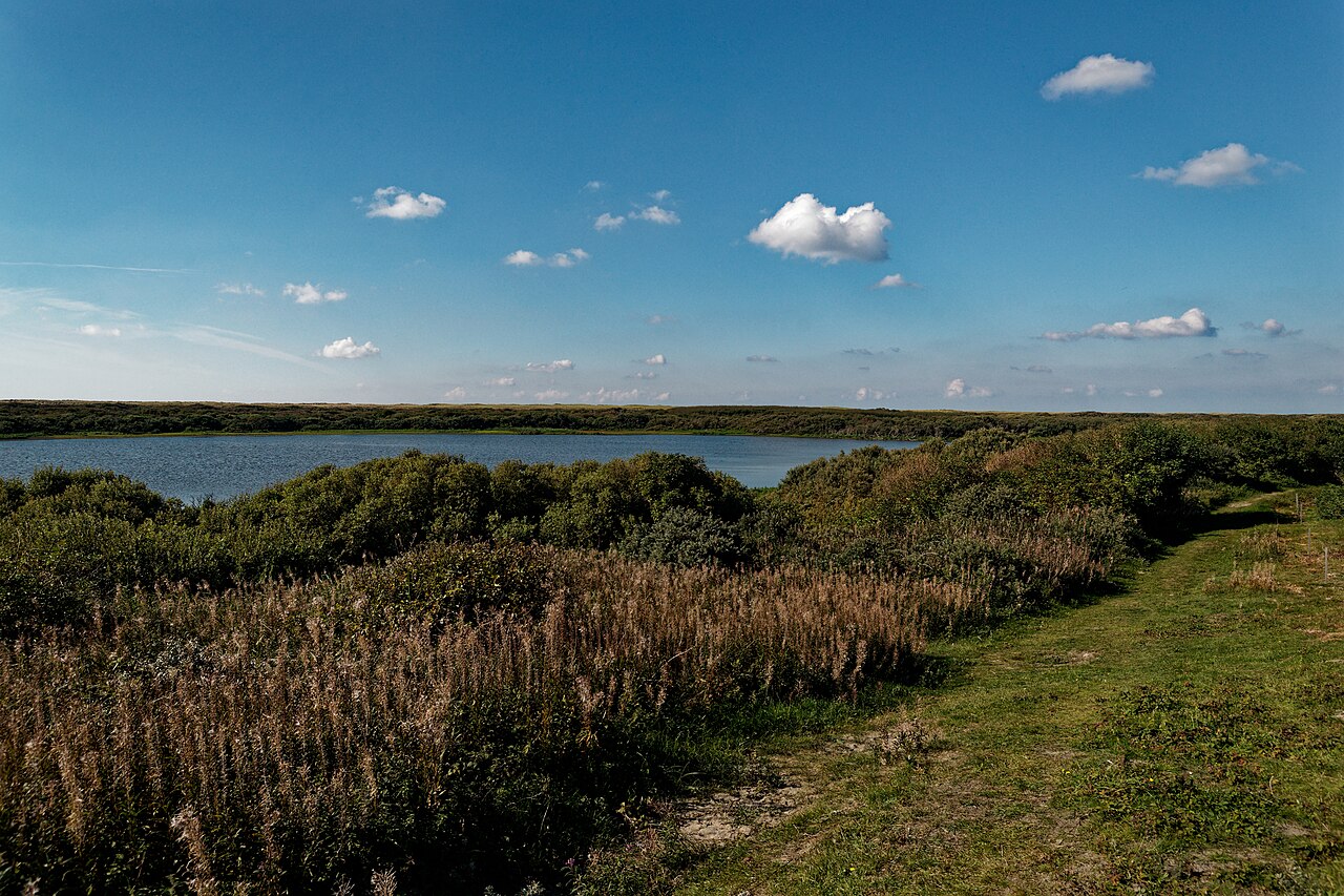
Wet dune valley, grassland and pine copse in De Muy on Texel

Photo: Txllxt TxllxT

Credit: Photo: Txllxt TxllxT, via Wikimedia Commons, CC BY-SA 4.0

Licence: CC BY-SA 4.0

Changes: No changes.

Source ↗

Remarkable nature

De Muy

Texel

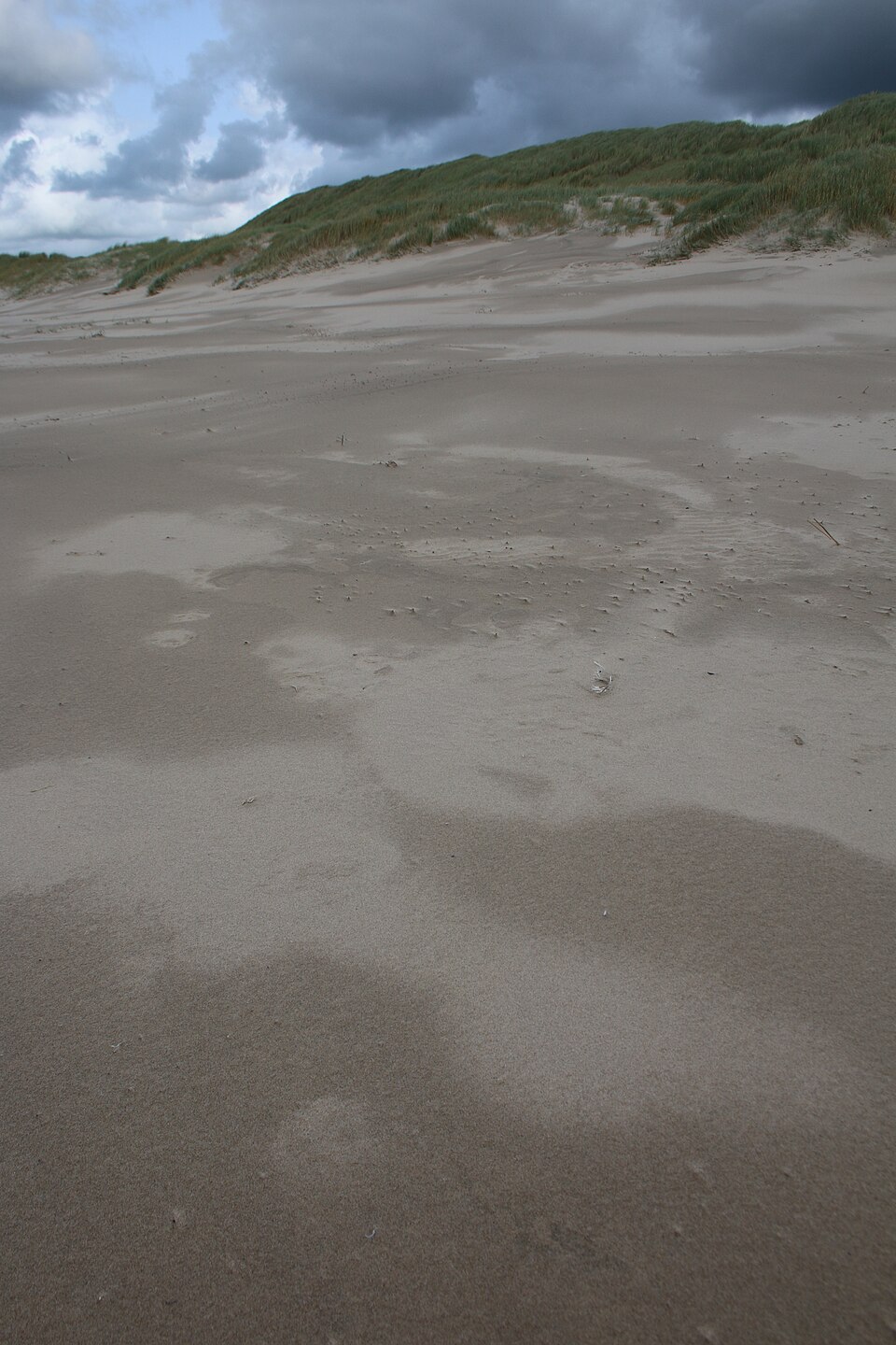
Between De Koog and De Slufter lies De Muy, a young dune landscape of steep slopes, an elongated wet valley, grasslands, the Muyplas and the dark pine copse known as Oorlogsschip. Unlike De Slufter, the influence of salt water was cut off here by a small dyke. Rainwater and groundwater then shaped a freshwater dune landscape with orchids, grass-of-Parnassus, bog pimpernel and one of Texel’s oldest spoonbill colonies.

View this place
De Slufter on Texel, with tidal creeks, salt marsh and surrounding dunes

Photo: Rasbak

Credit: Photo: Rasbak, via Wikimedia Commons, CC BY-SA 3.0

Licence: CC BY-SA 3.0

Changes: No changes.

Source ↗

Remarkable nature

The Texel Slufter

Texel

On the north-western side of Texel lies De Slufter, a rare salt marsh directly connected to the North Sea through a tidal channel and branching network of creeks. At high tide, seawater pushes deep between the dunes, leaving behind salt, sand and silt. Sea lavender, thrift, glasswort and other salt-tolerant plants thrive here. Waders, ducks and coastal birds use the flats for breeding, resting and feeding in a landscape that can look slightly different after every storm.

View this place
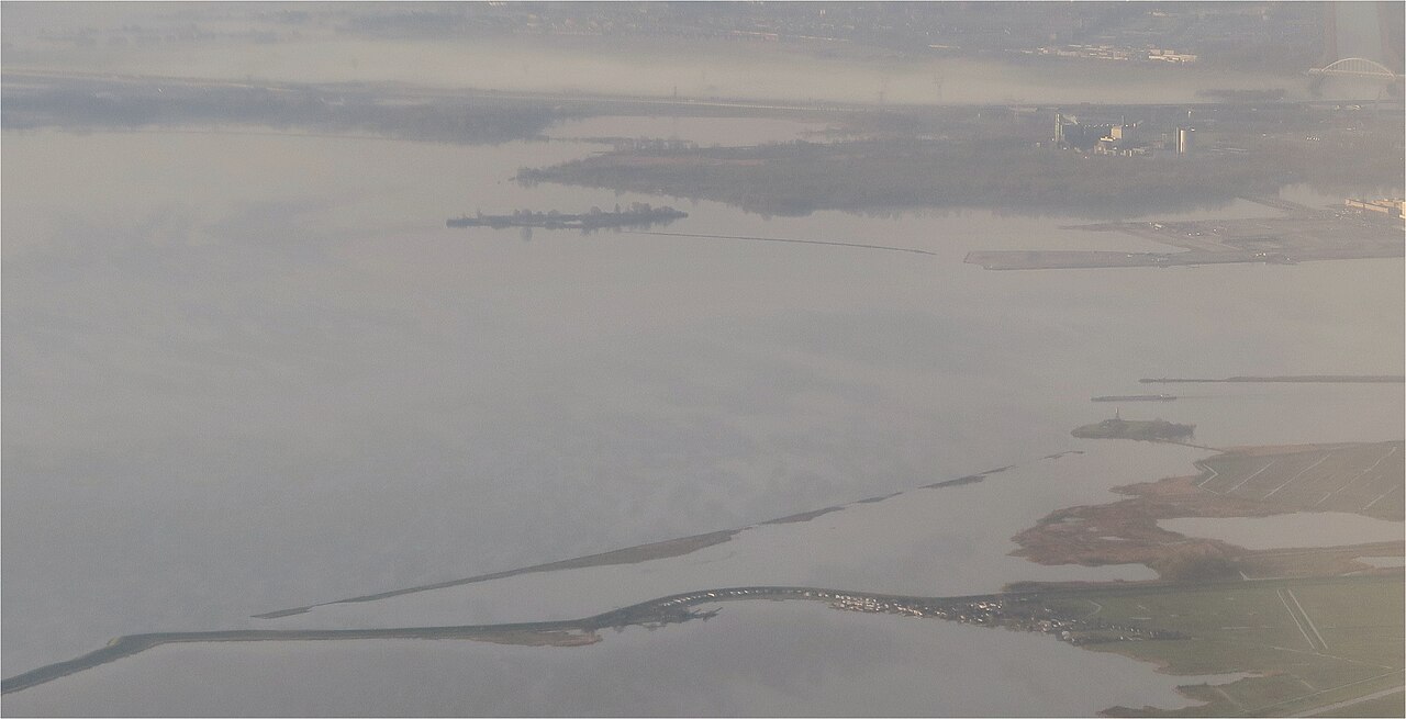
Willow woodland, reed beds and wet nature in De Vijfhoek near Diemen

Photo: Milliped

Credit: Photo: Milliped, via Wikimedia Commons, CC BY-SA 4.0

Licence: CC BY-SA 4.0

Changes: No changes.

Source ↗

Remarkable nature

De Vijfhoek

Diemen

On Amsterdam’s eastern edge lies De Vijfhoek, also known as Diemer Vijfhoek or PEN-eiland. The nature reserve developed around 1970 on dredged material and reclaimed ground in the IJmeer. Within a few decades, the bare peninsula became a dense mosaic of willow woodland, reed beds, wet rough vegetation, small pools and shorelines. Bluethroats, Cetti’s warblers, kingfishers, little grebes, woodpeckers and grass snakes all find habitat here, while waterbirds from the IJmeer gather along the edges in autumn and winter.

View this place
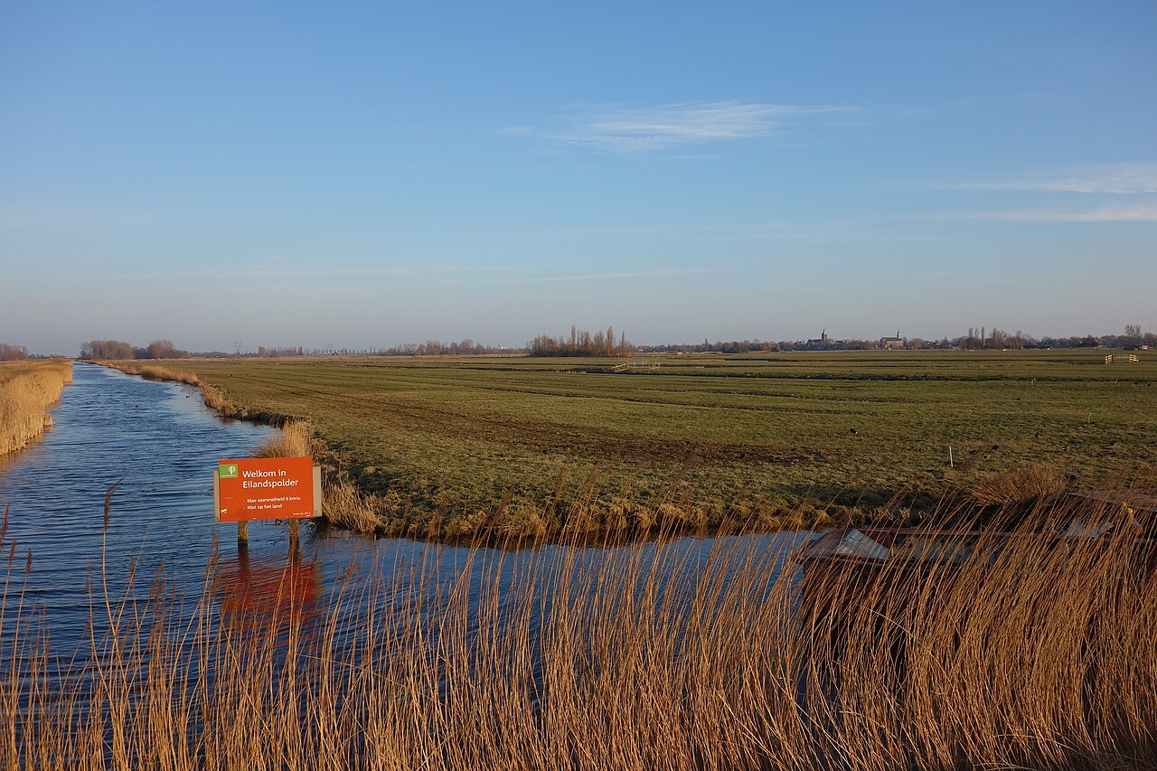
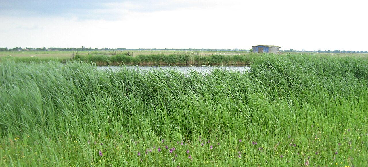
Open peat-meadow landscape with ditches and reed margins in the Eilandspolder

Photo: Dqfn13

Credit: Photo: Dqfn13, via Wikimedia Commons, CC BY-SA 4.0

Licence: CC BY-SA 4.0

Changes: No changes.

Source ↗

Remarkable nature

Eilandspolder

Alkmaar

Between De Rijp, Schermerhorn, Grootschermer and Noordeinde lies the Eilandspolder: a centuries-old lowland peat landscape of narrow grasslands, ditches, reed fringes and small lakes. The old peat island lies higher than the deep reclaimed polders of the Schermer and Beemster. Black-tailed godwits and lapwings call above the meadows in spring, while thousands of wigeons rest on the water and wet grasslands in winter. Rare sphagnum reedbeds and quaking bogs lie between the fields, where open water slowly develops into new peat.

View this place
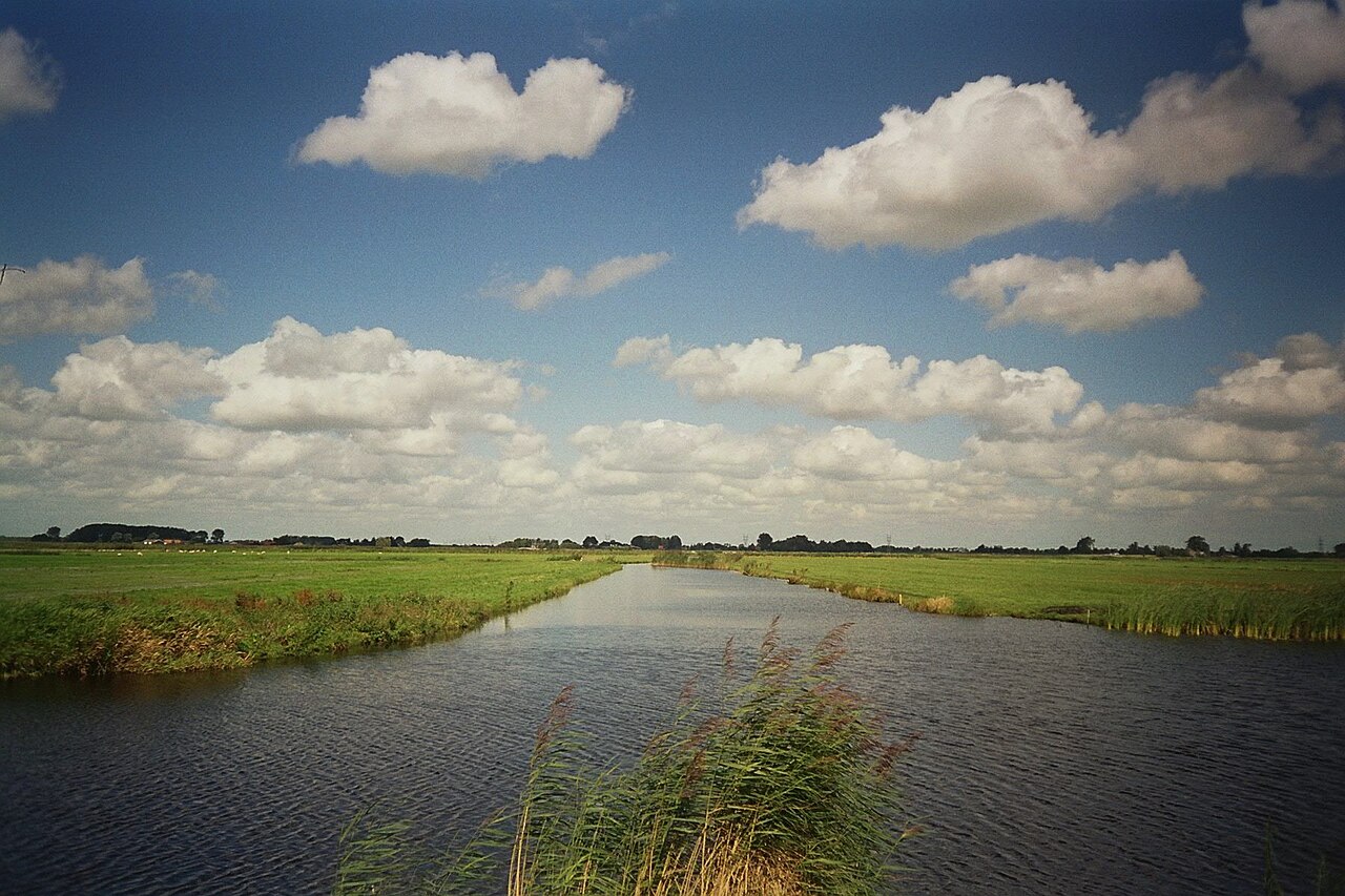
Open peat-meadow landscape with water and reeds in the Ilperveld

Photo: Maarten Sepp

Credit: Photo: Maarten Sepp, via Wikimedia Commons, CC BY-SA 3.0

Licence: CC BY-SA 3.0

Changes: No changes.

Source ↗

Remarkable nature

Ilperveld

Landsmeer

Between Landsmeer, Den Ilp, Ilpendam and the Noordhollandsch Kanaal lies the Ilperveld, a water-rich lowland peat landscape of long ditches, reed beds, wet grasslands, quaking bog and hundreds of narrow peat islands. Close to Amsterdam, it shelters a quiet world of black-tailed godwits, lapwings, reed birds, sphagnum mosses and root voles. The landscape was shaped by peat formation, peat cutting and centuries of water management, and survives only through careful control of water levels, grazing and habitat restoration.

View this place
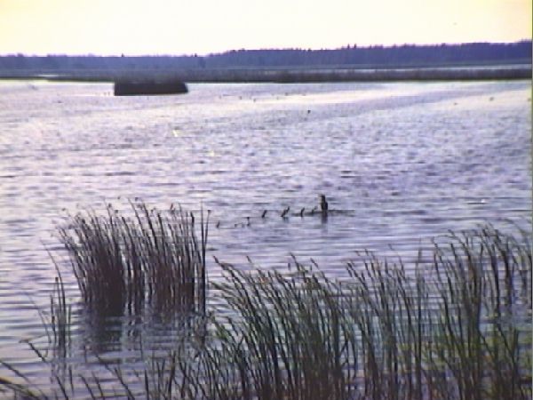
Open water, reed beds and marsh landscape in the Naardermeer

Photo: Rijkswaterstaat

Credit: Source: Rijkswaterstaat Image Bank, Rijkswaterstaat, via Wikimedia Commons. Attribution to Rijkswaterstaat is mandatory.

Licence: Attribution only – Rijkswaterstaat

Changes: No changes.

Source ↗

Remarkable nature

Naardermeer

Gooise Meren

Between Amsterdam, Hilversum, Weesp and Naarden lies the Naardermeer: a natural lake with clear water, extensive reed beds, swamp woodland and waterlogged grasslands. The area faced repeated attempts at drainage and was nearly used as a rubbish dump around 1900. Opposition to that plan led to the founding of Natuurmonumenten and made the Naardermeer an enduring symbol of Dutch nature conservation.

View this place
Open dunes, heath and woodland in the Schoorlse Duinen

Photo: FrDr

Credit: Photo: FrDr, via Wikimedia Commons, CC BY-SA 4.0

Licence: CC BY-SA 4.0

Changes: No changes.

Source ↗

Remarkable nature

Schoorl Dunes

Bergen

Near Schoorl lies one of the widest and highest dune areas in the Netherlands. The Schoorlse Duinen combine open sand, steep dune ridges, heath, pine woodland and damp dune slacks. The transitions between these landscapes are particularly rich in wildlife. Sand lizards bask in open places, nightjars can be heard on summer evenings, and the open dunes support woodlarks, stonechats and linnets. In autumn, fungi add extra colour along woodland edges and on sandy ground.

View this place
Waterways, meadows and reed beds in the Wormer- en Jisperveld

Photo: Wolk

Credit: Photo: Wolk, via Wikimedia Commons, public domain

Changes: No changes.

Source ↗

Remarkable nature

Wormer and Jisperveld

Wormerland

Between Wormer, Jisp, Neck and Oostknollendam lies the Wormer- en Jisperveld, an extensive lowland peat landscape where water takes the place of roads. Thousands of narrow grassland plots lie like green islands between ditches, broad waterways, reed beds and shallow peat lakes. Much of the land can only be reached by boat. In spring, black-tailed godwits and redshanks call above the meadows, while bitterns and sedge warblers remain hidden in the reeds. Among the grass and water are rare sphagnum reedbeds and small patches of damp lowland heath.

View this place
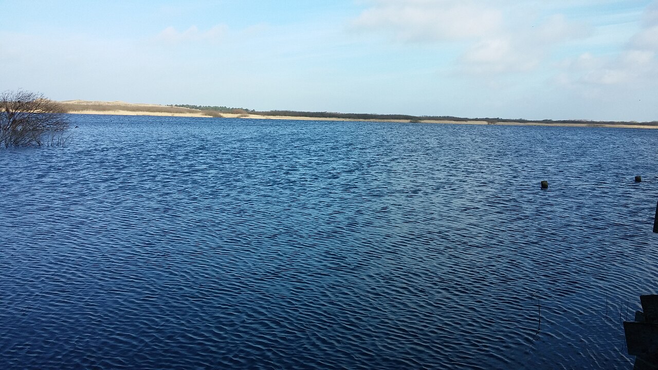
A large dune lake with reed-fringed shores and dunes in Zwanenwater nature reserve near Callantsoog

Photo: MatsAlkmaar

Credit: Photo: MatsAlkmaar, via Wikimedia Commons, CC BY-SA 4.0

Licence: CC BY-SA 4.0

Changes: No changes.

Source ↗

Remarkable nature

Zwanenwater near Callantsoog

Schagen

Behind the dunes south of Callantsoog lies Zwanenwater, an exceptionally well-preserved landscape of two large natural dune lakes, broad reed beds and marshes, wet dune valleys, heath and bare sand. Spoonbills, cormorants and other wetland birds use the lakes and their shores for breeding and feeding. In May and June, thousands of orchids turn parts of the valleys pink and purple. Grass-of-Parnassus and heather flower later in the season, while large flocks of ducks gather on the water in autumn and winter.

View this place

Nature is more than a list of species

A sighting can make a visit special, but the value of a natural area does not depend on a single bird, butterfly or plant. Soil, water, tranquillity, connections with other areas and room for natural processes also determine what makes a place remarkable.

Looking at the whole landscape makes it easier to understand why a species occurs here. A reed bird is linked to water levels and mowing, a dune plant to lime, wind and open sand, and a meadow bird to wet grassland and sufficient tranquillity.

Choose your moment and take your time

The same place can look completely different from one month to the next. Spring birdsong, flowering orchids, breeding colonies, migrants and winter birds of prey each follow their own calendar. Visit early or late in the day if you want tranquillity and a better chance of seeing wildlife.

Stay on the paths, keep your distance and respect temporary closures. Take litter home and leave plants, feathers and other natural finds where they are. Wildlife remains dependent on weather, water levels and chance. That unpredictability is precisely what makes every visit different.

Concrete examples include De Muy and De Slufter on Texel, Balgzand, Naardermeer, Amsterdamse Waterleidingduinen and Wormer and Jisperveld. Together they range from dune slacks and tidal flats to lowland peat, reed beds and meadow-bird habitat.

More to discover

Explore the other themes

Nature never stands apart from the landscape around it. Discover old buildings, vanished places, waterworks and remarkable stories that show how North Holland was shaped by people, nature and history.