
The story of this place
When the tidal flats emerge
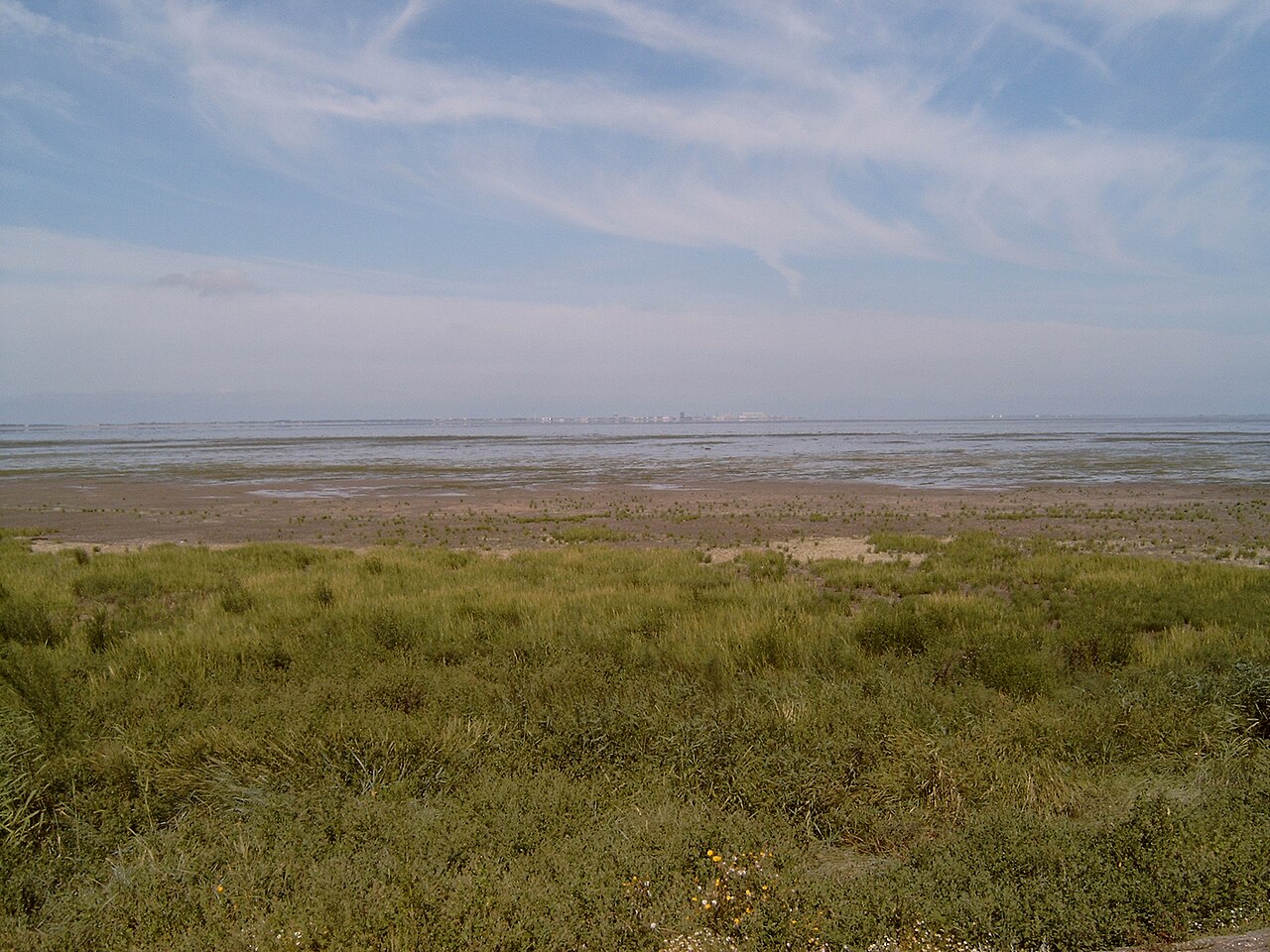
Balgzand lies on the south-western edge of the Wadden Sea, between Den Helder and Wieringen. From the dyke, the landscape may appear almost empty. Water, sky and a low horizon dominate the view. Most life, however, lies beneath the water and within the soft seabed and becomes visible when the sea retreats.
Twice each day, a large part of the tidal flat is exposed. Shallow channels remain between expanses of sand and mud. Cockles, small mussels, lugworms, snails, shrimps and other bottom-dwelling animals live in this sediment. For waders and ducks, the exposed flats become a vast feeding ground.
Each bird species uses the flats differently. Oystercatchers open shells, curlews probe deeply into the mud with their long bills and smaller sandpipers feed rapidly along wet margins. Bar-tailed godwits and red knots search the flats, while shelducks combine shallow water with exposed mud.
At low tide, birds are widely scattered. As the water rises, feeding strips become narrower and the groups move towards salt marshes, dykes and other elevated places. Around high tide, thousands of birds may stand close together. Red knots and dunlins form flocks that turn like a single body and appear alternately light and dark.
Thousands of birds follow the tide
A peregrine falcon may suddenly send such a high-tide roost into motion. The flock contracts, swerves away and slowly breaks apart again. This reveals how many birds may be resting in a small area. That rest is essential: birds must conserve energy for migration, winter and the next feeding period.
Balgzand forms part of an international migration route. Many waders breed thousands of kilometres farther north and use the Wadden Sea to replenish their energy reserves. Other species remain through much of the winter. The quality of a single tidal flat may therefore affect birds moving across several countries and continents.
Where tidal flats slowly become land
Salt marshes and saline grasslands also border the dyke. Where silt accumulates, plants able to tolerate salt, wind and flooding establish themselves. Sea lavender may colour the marsh purple in summer, while glasswort turns red later in the year. Sea aster, sea purslane and sea plantain also belong to this transition between land and sea.
The plants slow the current and trap new silt, allowing the salt marsh to grow higher. The boundary between land and water is therefore not fixed. Channels shift, flats grow or erode and vegetation influences where sediment remains.
On the landward side of the dyke, saline seepage mixes with fresher inland water. Brackish pools, grasslands, canals and the Amstelmeer lie close to the tidal flats. This transition is important for plants, birds and fish. European eels and three-spined sticklebacks use connections between sea and inland water, while spoonbills search shallow areas for small fish and shrimps.
Human interventions also shaped the present coast. Dyke construction and land reclamation incorporated parts of the former tidal landscape into the mainland. The Balgzand dyke still forms a sharp boundary between the tidal flats and lower agricultural land. Construction of the Amsteldiep dyke in 1924 closed off part of the tidal water and created the Amstelmeer.
Despite these changes, an exceptionally rich tidal area survived on the seaward side. In addition to its flood-defence role, the dyke became important as a high-tide roost. Inland breeding grounds and islands have been created for terns, avocets and plovers. Raised or isolated places help protect ground-nesting birds from flooding and predators.
Timing determines what you see
Most of Balgzand is not accessible. Salt marshes, roosting sites and sections of dyke remain closed because disturbance costs birds considerable energy. Birds repeatedly forced to fly lose resting time and burn reserves. The area is therefore mainly viewed from designated points or during guided excursions.
The freely accessible viewpoint near Van Ewijcksluis overlooks the eastern section. Timing strongly determines what can be seen. At low tide, many birds stand far out on the flats. As the tide rises, they move closer to the dyke. A visit around high tide generally gives the best chance of seeing large groups, although exact conditions vary each day.
The composition of the birdlife changes with the seasons. Large numbers of waders pass through in spring and autumn. Shelducks gather to moult in late summer and black terns may use communal roosts. Brent geese, wigeons and other ducks arrive in autumn and winter. Avocets, terns and plovers breed on quiet sites in spring and summer.
Balgzand does not owe its richness to a single species. Its value comes from the interaction of tides, seabed life, tidal flats, channels, salt marshes, brackish water and resting places. Each high tide makes the food temporarily inaccessible and each low tide exposes it again. Birds continually move with this rhythm.
Looking from the dyke towards the shifting waterline therefore reveals no empty coastal landscape. The tidal flats form an immense food store, the salt marshes a growing transition zone and the dyke a refuge at high water. Balgzand shows how the Wadden Sea is sustained by repetition: water arriving, water retreating and birds repeatedly finding their place.
What can you see when?
The months below show when a sighting is most likely. Wildlife remains unpredictable.
Red knot
Red knots gather in large numbers especially during migration and in winter. Around high tide, compact flocks may wheel above roosts along the dyke.
Dunlin
These small waders feed along wet mud margins at low tide and may gather by the thousands at high-tide roosts.
Bar-tailed godwit
During spring and autumn migration, bar-tailed godwits are recognisable by their long, slightly upturned bills, which they use to probe deeply into the mud.
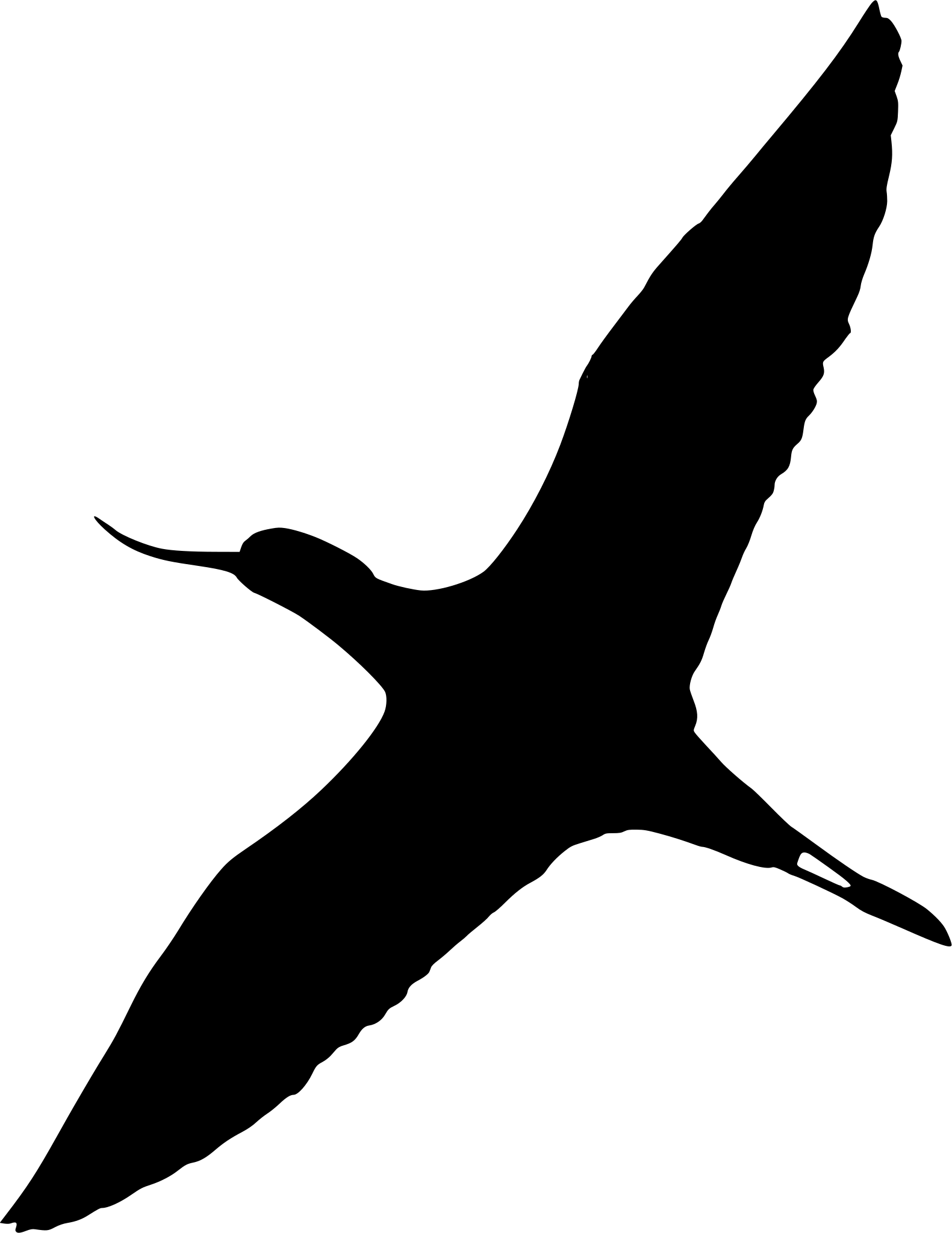
Pied avocet
Pied avocets sweep their upcurved bills from side to side through shallow water in search of small aquatic animals and breed on quiet, bare or sparsely vegetated ground.
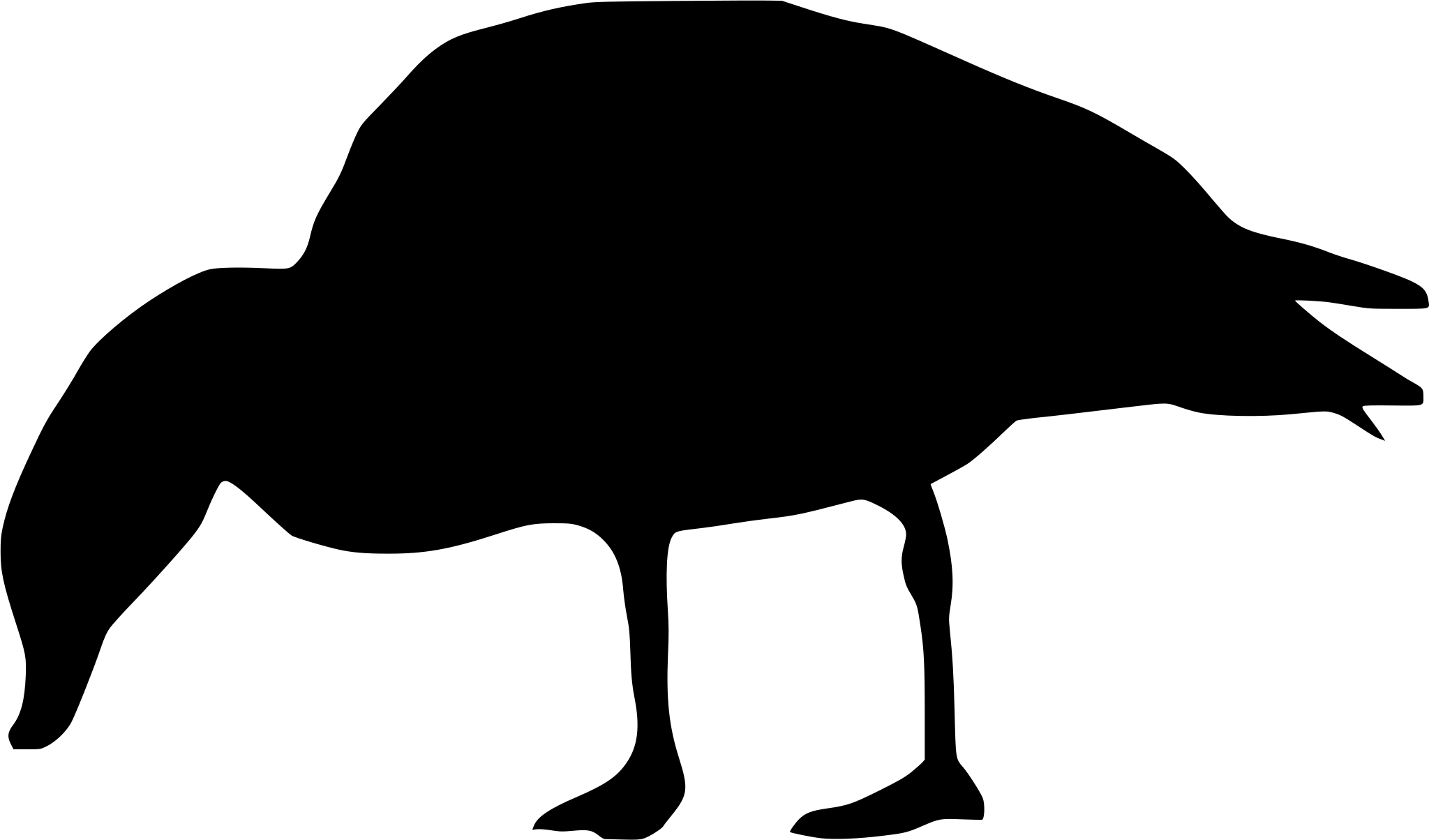
Common shelduck
All yearCommon shelducks are present throughout the year. In summer, large groups may gather on and around the quiet tidal flats to moult.
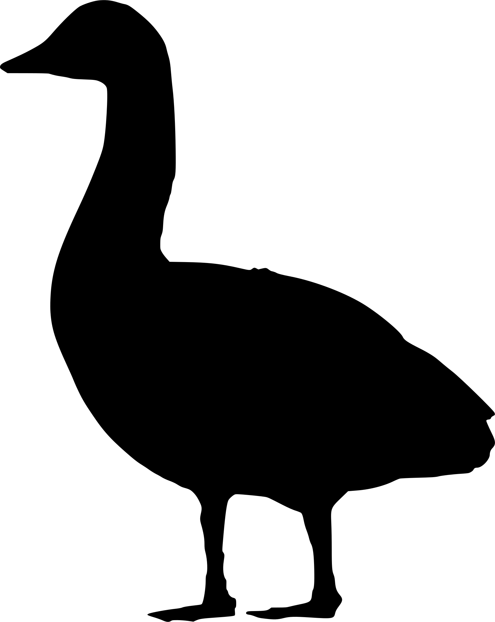
Brent goose
From autumn to spring, brent geese rest and feed along the Wadden coast. Their dark flocks are often visible above the tidal flats and salt marshes.
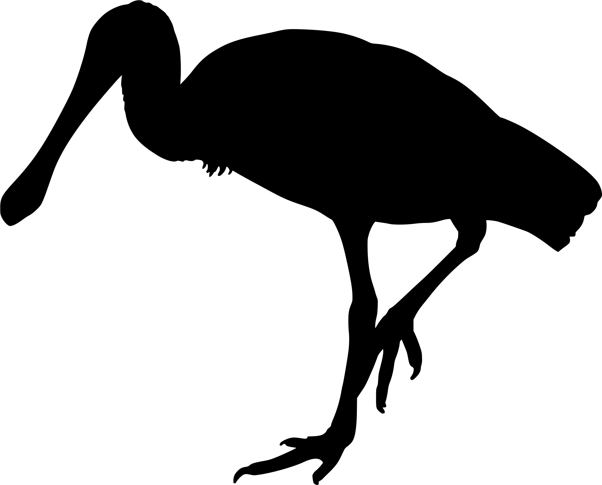
Eurasian spoonbill
Eurasian spoonbills sweep their flat bills through shallow water for shrimps and small fish. They are often found feeding or resting along channels and brackish pools.
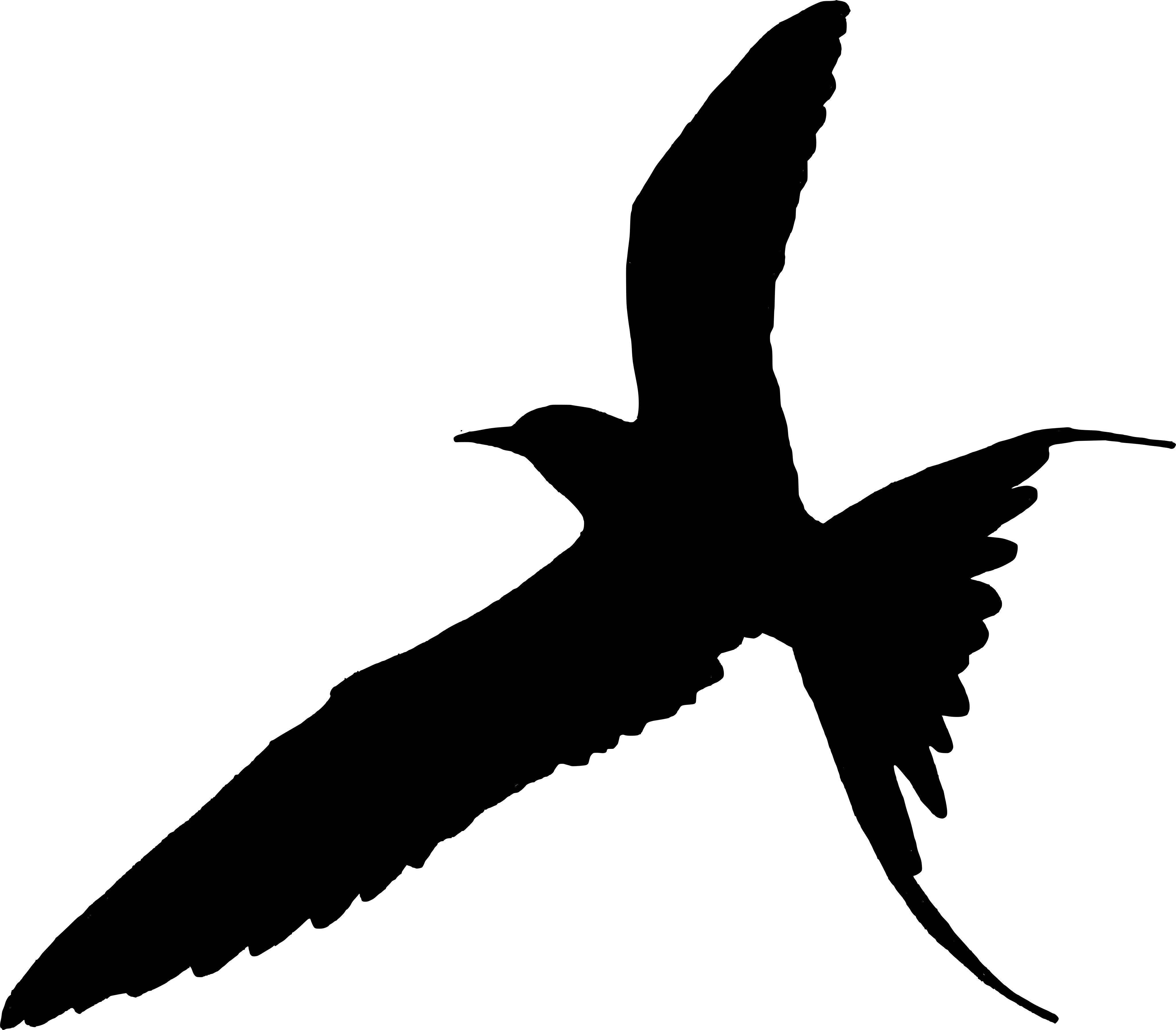
Common tern
Common terns hunt over shallow water during the warmer half of the year. Colonies use specially created breeding sites designed to keep nests beyond the reach of ground predators.
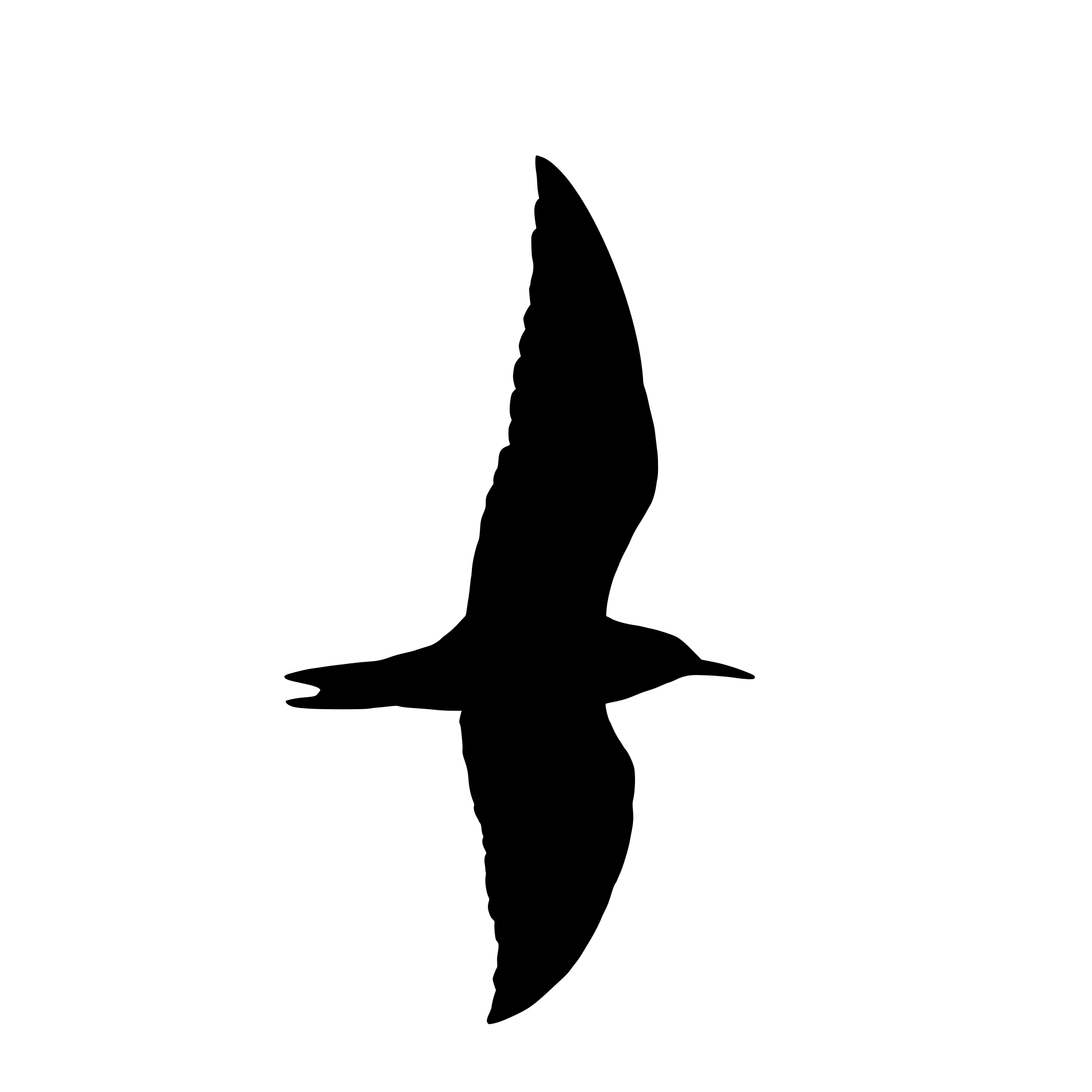
Black tern
In late summer, large numbers of black terns may feed over the water and gather at communal roosts nearby.
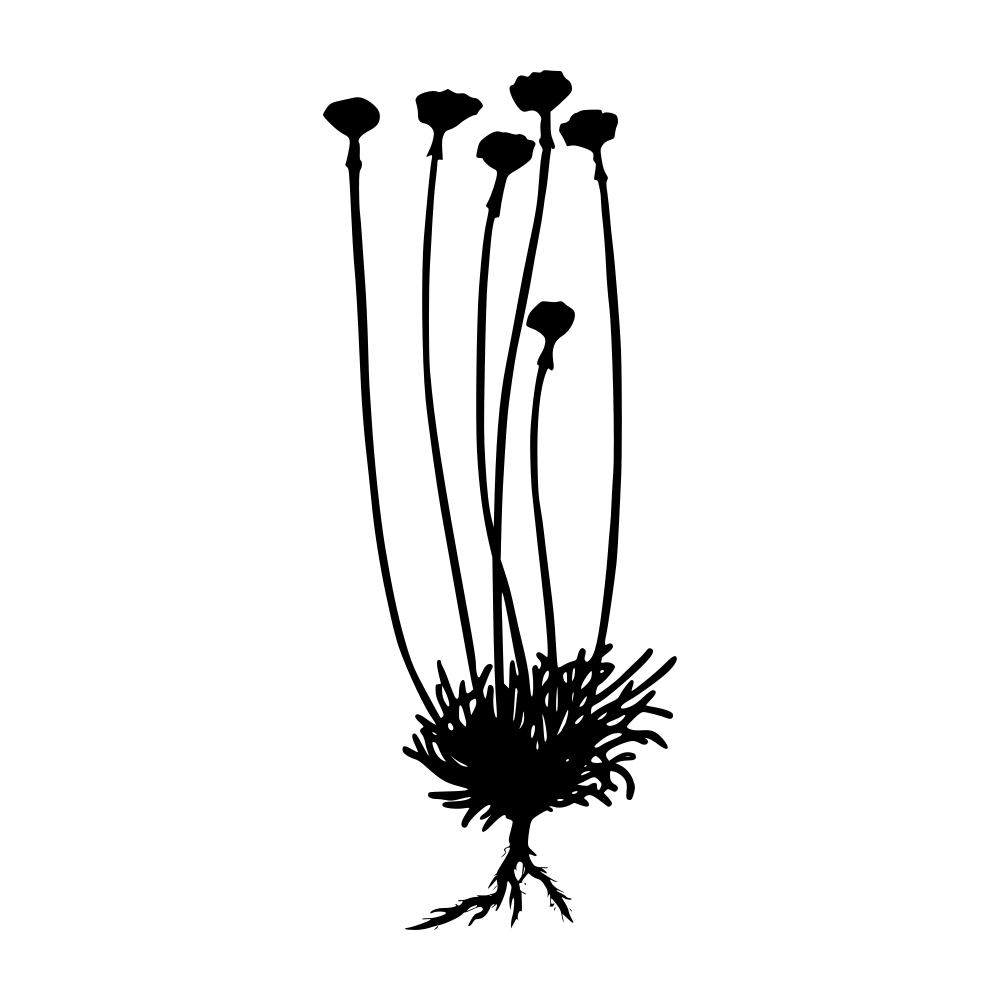
Glasswort and sea lavender
Sea lavender can turn the salt marsh purple in summer. Later in the year, glasswort often develops red tones, changing the appearance of the low saline vegetation.