
The story of this place
A village on the dyke
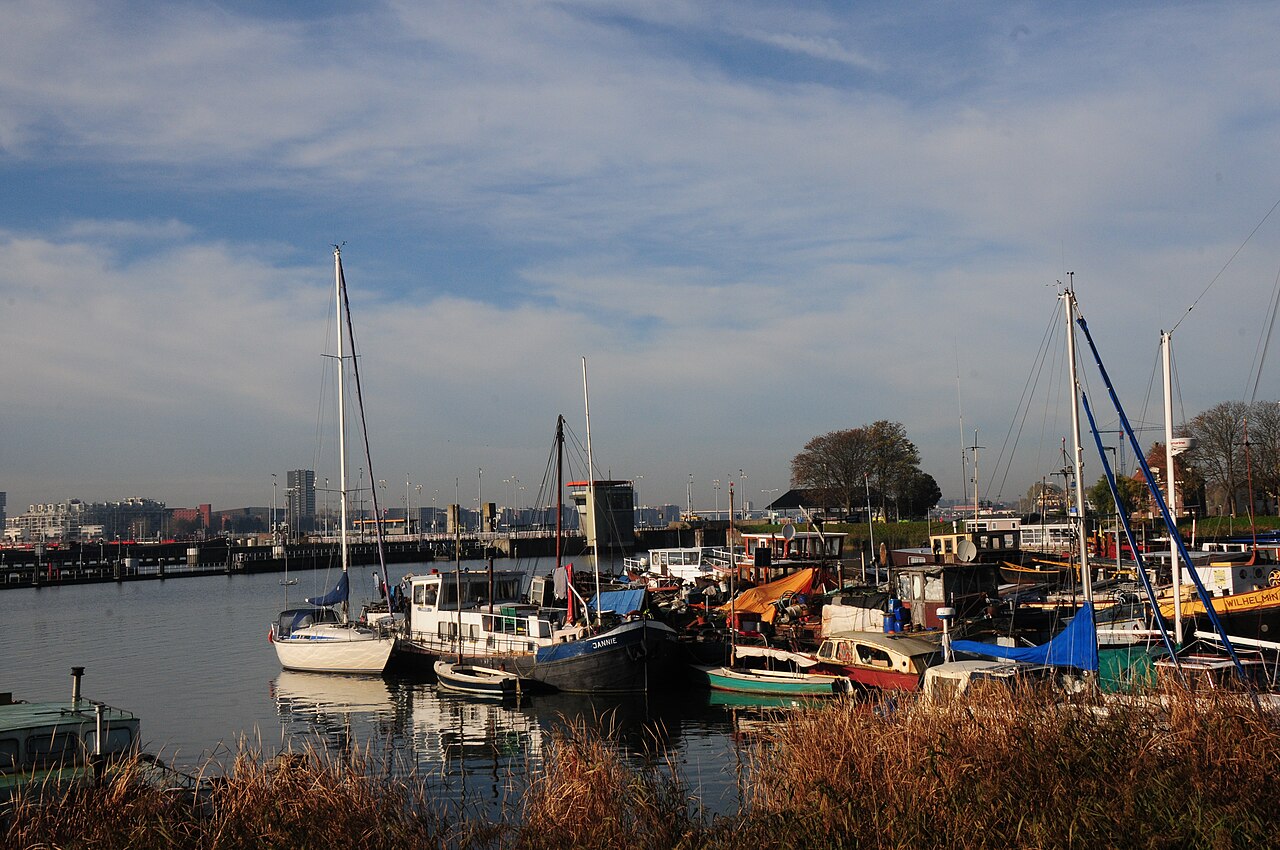
Since 1872, the Oranjesluizen have formed the shipping connection between the Binnen-IJ and Buiten-IJ while keeping the two bodies of water separated.
Schellingwoude lies on the Waterlandse Zeedijk on the eastern side of Amsterdam-Noord. Its houses follow the bends and changes in height of the dyke because safe habitation in the wet peatland was possible mainly on or directly behind the flood defence.
Drainage caused the peat soil to subside and made the hinterland increasingly vulnerable. The dyke therefore served at the same time as flood defence, transport route and basis for settlement.
A series of dyke villages developed along the Waterlandse Zeedijk, including Schellingwoude, Nieuwendam and Durgerdam. Houses stood on the crest, against the slope or directly behind it.
Schellingwoude therefore did not grow around a square, but as an elongated ribbon. Despite its later incorporation into Amsterdam, that original scale remains clearly recognisable.
The IJ changes and the locks are built
In the nineteenth century, the waterscape around Amsterdam changed dramatically. For the construction of the Noordzeekanaal, parts of the IJ were dammed and reclaimed. The Binnen-IJ became part of the new canal system, while the Buiten-IJ remained connected to the Zuiderzee.
A controlled passage was needed between the two bodies of water. Ships had to be able to pass without allowing water to flow freely from one basin to the other. The narrow connection at Schellingwoude was therefore chosen for a new lock complex.
The foundation stone of the Oranjesluizen was laid in 1870. The complex entered service on 18 March 1872. The three original navigation locks were built in different sizes so that vessels of different sizes could pass.
During locking, a vessel enters a chamber and the gates close behind it. Water is then admitted or discharged until the level matches that of the next body of water. Only then can the gates on the other side open. In this way, the Binnen-IJ and Buiten-IJ remain separated while shipping can continue.
Old and new side by side
Inland shipping expanded and vessels became larger. The nineteenth-century chambers could no longer handle modern traffic efficiently. The much larger Prins Willem-Alexander Lock was therefore built beside the old locks and entered service in 1995.
This makes the difference between historic and modern hydraulic engineering immediately visible. The old locks form a series of smaller chambers and buildings. The new lock is much larger in scale, but essentially still performs the same task: allowing vessels to pass while controlling the water.
Two ways of living with water
Village and locks may seem like separate worlds, but they belong to the same story. For centuries, the Waterlandse Zeedijk determined where people could live safely. The Oranjesluizen later gained an important role in regulating water levels and shipping for an area extending far beyond Schellingwoude.
Do not head straight for the locks. First look at the small houses, differences in height and bends of the old ribbon settlement along the dyke. Then look at the straight chambers, moving gates and waiting vessels. In that transition, you can see how living with water changed from adapting to the landscape to increasingly precise technical control.