
The story of this place
A turbid lake without soft shores
From the shore, the Markermeer looks like a vast open expanse of water, but beneath the surface the lake had long suffered from a persistent problem. After completion of the Houtribdijk in 1976, the Markermeer was separated from the IJsselmeer. The natural movement of water and sediment changed significantly.
Large amounts of fine silt remained suspended in the lake and were repeatedly stirred up from the bottom by strong winds. The water became turbid, aquatic plants received little light and gradual transitions between deep water, shallows, shores and marshes were almost entirely absent.
New nature made with silt from the lake
Marker Wadden was created in response to this ecological decline. The principle was unusual: not merely to protect existing nature, but to use hydraulic engineering to create new conditions in which nature could develop. In 2016, Natuurmonumenten, Rijkswaterstaat and Boskalis began constructing the first islands. Eventually, an archipelago of seven islands emerged.
The islands were built largely from material taken from the Markermeer itself. Sand formed firm outer edges, beaches and submerged dams. Within these boundaries, finer clay and large quantities of silt were deposited. Tens of millions of cubic metres of silt were put to new use. Material that had previously lain as a thick layer across the lake bed became building material for mudflats, channels, shallows, marshes and islands.
Land above and below water
Not every edge was designed to be equally hard. On the sides where wind and waves hit most strongly, sandy edges and beaches protect the wet interior. Behind them lie sheltered basins, channels and shallow zones where the water is calmer and suspended silt can settle.
The islands also interrupt the long stretch of open water across which waves can build. As a result, they created not only land above water, but above all a more varied landscape immediately beneath and around the water surface. The visible islands form only the uppermost part of a much larger system.
A landscape that lives and moves
Shallow and relatively warm water gives fish space to spawn and grow. Where light reaches the bottom, aquatic plants can establish themselves. Small aquatic animals, insect larvae and shellfish find food in sheltered, silt-rich zones and in turn provide a food source for fish and birds.
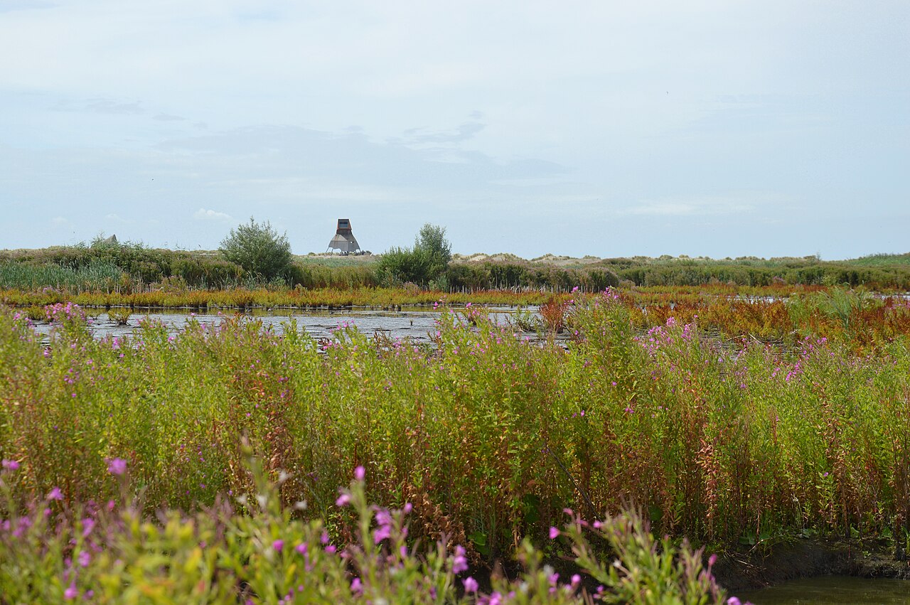
The change is visible to the naked eye as well. Reeds, marsh fleabane and other pioneer plants appeared on the fresh sediment. Common terns, avocets, spoonbills and many other water and marsh birds found rest and food there. On windy days, the reeds rustle, waves strike the sandy edge and birds repeatedly disappear behind low island ridges.
Yet nothing here remains exactly the same. Silt compacts, channels change shape and storms can erode sandy shores. Some zones remain open and muddy, while others slowly become overgrown. People determined the initial form, but water, wind, plants and animals continue to shape the landscape.
Visiting and understanding Marker Wadden
The Haveneiland forms the accessible front of the archipelago. A small harbour allows visitors to arrive by ferry, private boat or charter boat. From the harbour, walking routes pass a sandy beach, low dunes, reed beds, silt fields and wet hollows. Bird hides and screens make it possible to observe animals without entering the quiet areas.
The Steltloper observation tower provides the clearest overview. From the tower, the individual islands, water channels and winding boundaries between sand, reeds, mud and open water become visible. From ground level, these zones look like separate pieces of landscape. From above, it becomes clear that together they form a pattern of transitions.
Marker Wadden is not a reclamation project in the traditional sense. There is no ring dyke behind which the water has been pumped away. No fields, roads or permanent residential areas were created. Wet, muddy, mobile and temporarily flooded zones are considered valuable here.
The most important structure is not the visitor pavilion or the observation tower, but the complete combination of sand dams, silt fields, channels, shores and shallows. Marker Wadden shows that new land does not have to be created simply to push water back. Here, land was created to give nature in and around the water more room again.