
The story of this place
A push moraine from the penultimate Ice Age
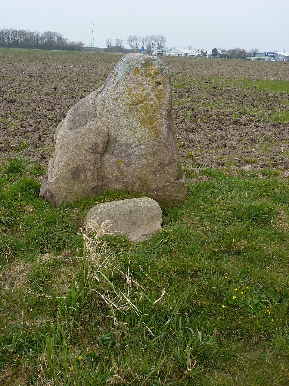
Wieringen lies in the north of North Holland, but its landscape differs clearly from the flat polders around it. Roads rise gently, farmsteads sometimes occupy higher ground and villages rest on low ridges. The difference in height is small, but historically important. Wieringen forms an ancient push moraine created during the penultimate Ice Age.
Around 150,000 years ago, Scandinavian ice masses reached this part of the Netherlands. The pressure of the ice pushed up boulder clay, sand, gravel and stones into low, firm elevations. Wieringen remained as one such ancient core within the later coastal landscape. While sea, peat and tides transformed the surroundings, the higher ground remained recognisable.
This makes Wieringen very different from the younger Wieringermeer and the surrounding polders. Those landscapes mainly tell stories of reclamation, water management and twentieth-century planning. Wieringen preserves a much older layer. For centuries, the former island formed higher land among peat, salt marshes, the Wadden Sea and the Zuiderzee. Its age lies not only in archaeological finds, but in the shape of the land itself.
Westerklief lies on the flank of this old moraine. Its name refers to a raised edge or cliff created when water and erosion worked upon the sides of Wieringen. Together with Oosterklief, Westerklief recalls that the old land once bordered the sea directly and that the water eroded the edges of the moraine.
The higher and firmer ground made the area attractive for settlement and use. In a wet and changing coastal landscape, the ridges offered greater security than lower peat and clay. They were suitable for farmsteads, agriculture, routes and burial places. Water, wind and accessibility still shaped life, but the moraine provided a stable base on which people could settle.
Westerklief as an old edge of the island
Archaeological research shows that the flanks of Wieringen were used for a very long time. At Westerklief, traces have been found from the Middle Iron Age through to the modern period. Ditches, pottery, wells and remains of farmsteads show that the area was repeatedly reorganised. Wieringen therefore did not become important only in the Middle Ages, but had already supported settlement and agriculture much earlier.
The best-known discoveries date from the Viking Age. Several ninth-century silver hoards have been found near Westerklief. The 1996 find contained jewellery, coins, silver ingots and fragments. Such treasures easily evoke images of Vikings, loot and hidden wealth. Caution is necessary, but the finds do show that Wieringen was connected with networks of trade and movement around the North Sea, Wadden Sea and early medieval coast.
The combination of landscape and finds is what makes Westerklief distinctive. The silver was not buried in a random location. Higher land beside navigable waters, accessible from sea and tidal flats, offered a logical place for settlement, contact and trade. The hoards are therefore not an isolated mystery, but part of a landscape used by people for centuries.
Viking silver in an inhabited landscape
Wieringen remained an island for a long time. Changes in waterways and breaches left it surrounded by the Zuiderzee, Wadden Sea and other waters. Villages, roads, farming and fishing developed in relation to height, coast and accessibility. After the Afsluitdijk and the reclamation of the Wieringermeer ended its island status, the ancient relief remained visible.
Walking or cycling around Westerklief, you encounter neither a reconstructed Viking camp nor silver still lying in the soil. The history must mainly be read from the landscape. Gentle changes in elevation, roads following the ridges and the contrast with the flat polders explain why Wieringen is different. The past lies not in one monument, but in the relationship between soil, position and settlement.
The site combines visible and invisible heritage. The moraine, roads, villages and undulating ground remain present in the landscape. Most archaeological traces are underground or were removed during excavation. The findspot nevertheless remains meaningful. It shows that ordinary-looking fields and farmyards may conceal exceptional remains and that the landscape preserves more than it immediately reveals.
A former island that remained higher
Wieringen therefore occupies a distinctive position within North Holland. Many landscapes have been greatly altered by reclamation, land consolidation and development. Here, an ancient geological core remains recognisable. The moraine and its archaeological richness show that North Holland is not only a landscape of dykes and reclaimed land, but also a region with deep geological and settlement history.
Westerklief makes that history tangible without a large monument. Its name recalls the old raised edge. The relief refers to the Ice Age. The archaeological finds point to people who lived, worked, travelled, traded and left or concealed possessions here. Soil and story meet in the same place.
Wieringen and Westerklief therefore form one historical landscape. Boulder clay, relief, island history, settlement traces and Viking silver belong together. Anyone seeing only a quiet hamlet misses the deeper layer. Attention to height, location and soil reveals one of the oldest recognisable landscapes of North Holland.
Where thousands of years of history come together
The value of the place ultimately lies in this accumulation: an Ice Age moraine, a former island, a flank inhabited for centuries and a findspot of early medieval silver. Wieringen shows that ancient land does not need to be large or spectacular to carry great historical weight.