
The story of this place
Two castles beneath the grass
The Oudorperpolder initially appears open and peaceful: meadow, ditches, mills, birds and a low sky above Alkmaar. Beneath grass and clay, however, lie the remains of a much harsher past. Two large medieval castles once stood in this polder: Nieuwburg and Middelburg.
The castles are not present as ruins with high walls. They have largely been absorbed into the landscape. Their traces must be sought in slight rises, water lines, markers, field boundaries and the way the polder opens between Alkmaar, Oudorp and the old West Frisian frontier. The Oudorperpolder is therefore not empty open space, but a covered castle landscape.
Power on the border of West Friesland
Nieuwburg and Middelburg belonged to the struggle between Holland and West Friesland. In the thirteenth century, the counts of Holland tried to strengthen their authority in this region. Castles were not romantic residences, but instruments of power. They guarded routes, enforced presence, housed men, horses and supplies, and made clear that the count laid claim to authority here and fixed it in stone and water.
That makes the Oudorperpolder remarkable. Two castles stood less than six hundred metres apart and together formed a landscape of power. They were not placed randomly in open land. This was a strategic transition between Alkmaar, water, roads, polders and the old frontier towards West Friesland. The castles controlled, guarded, threatened and organised that transition.
In the Middle Ages, the polder was not an empty backdrop. It was a terrain where water, clay, dykes, roads and power met. A castle in such a landscape worked not only with walls, but also with moats, bridges and sightlines. Water functioned as obstacle, protection and boundary. The position of a castle determined who could pass, who could be stopped and who controlled the landscape.
Nieuwburg and Middelburg
For a long time, the castles were mainly seen as coercive strongholds built by Count Floris V after the subjugation of West Friesland. More recent research has made the picture more complex. Nieuwburg appears older and more elaborate than previously assumed, while Middelburg also seems to have been much larger than older reconstructions suggested. The castles were therefore not simply two modest military posts. They belonged to a layered border landscape in which defence, government, prestige and control overlapped.
Nieuwburg is the most recognisable in the terrain. Its remains lie in the Oudorperpolder and are protected as an archaeological monument. Parts of its outline are marked in the field, allowing something of the ground plan to reappear. Yet its presence remains restrained: no battlements or halls are visible, only lines in grass and soil.
Below ground lie remains of walls, moats and structures showing that Nieuwburg was larger and more complex than a simple residential tower. Research points to a main castle, an outer ward, moats, a heavy entrance and other elements belonging to a defensible complex. Where there is now open space, there was once a controlled world of access, enclosure and supervision.
Middelburg lies a short distance from Nieuwburg. This castle is no longer visible as a building either. Geophysical research has shown that Middelburg, too, was much larger than once thought. Traces of buildings, moats, a harbour-like structure and a substantial gatehouse have been identified beneath the ground. A small and inconspicuous piece of polder therefore conceals a much larger medieval reality.
Destruction and disappearance
In 1517, the visible castle complexes came to an end. The band of Grote Pier moved through the region and set the castles on fire. Nieuwburg and Middelburg were not rebuilt. Where they had once symbolised comital power, they became remains in a landscape that gradually returned to agricultural use. This was a sharp break in the story.
After the destruction, time, reuse and farming did their work. Walls were dismantled, stones disappeared, moats silted up and the terrain became flatter. What remained above ground diminished; what survived below ground became archaeology. The polder took the castles back. Power became a soil trace.
A buried castle landscape
At Nieuwburg, the marked lines help to understand the ground plan. The course of the moat, the entrance, the outer gate, the main castle and the movement of people, animals, carts and soldiers are not fully visible, but can still be partly read. The polder remains quiet and open, while beneath that openness lies a much more densely organised medieval reality.
At Middelburg, this is even subtler. The castle lies mainly hidden beneath grass and soil. Geophysical research has made the subsurface more readable, but above ground its presence remains limited. What now looks like a small or enclosed piece of polder was once part of a large castle site. That contrast between visibility and meaning belongs to this place.
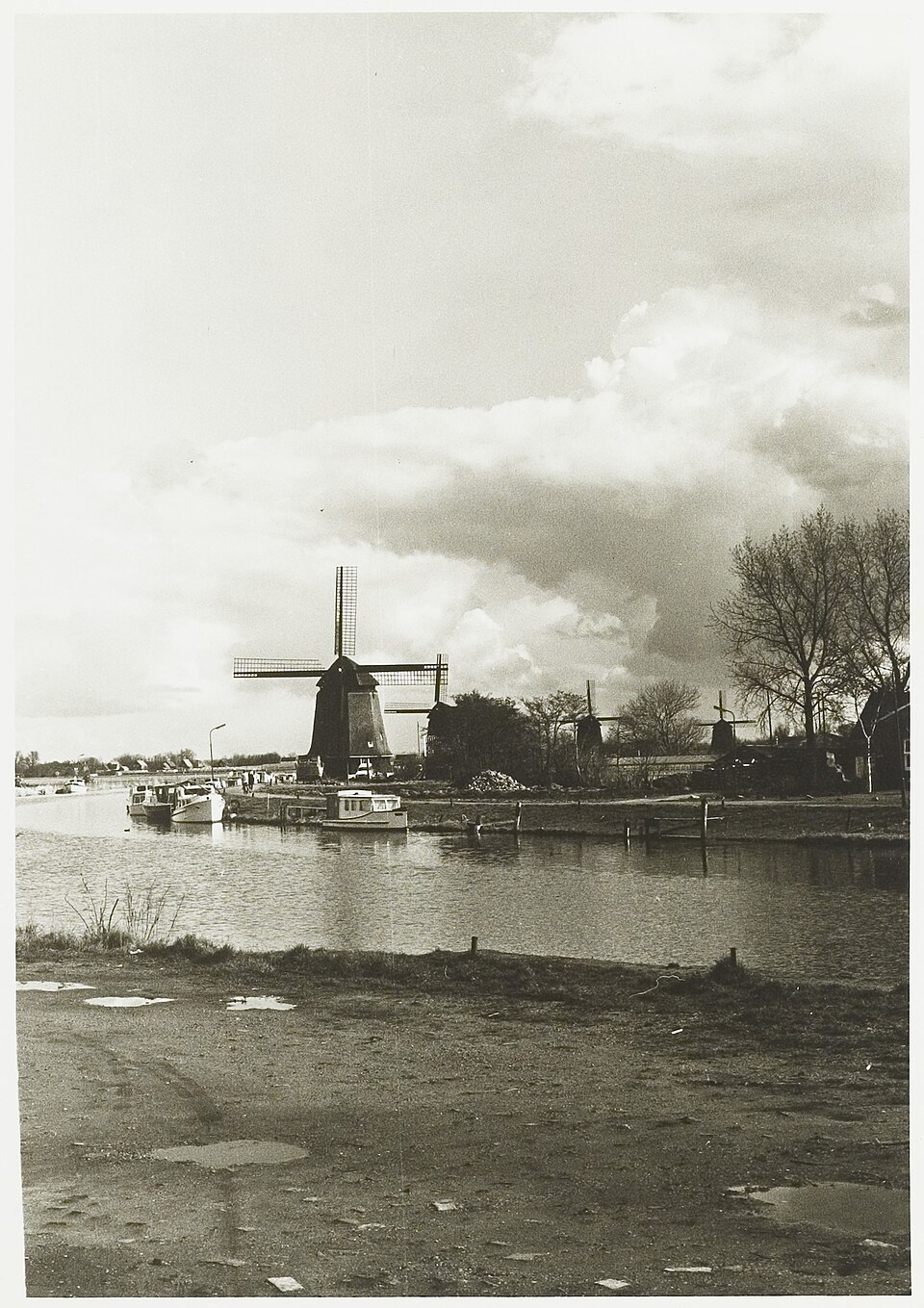
The Oudorperpolder therefore contains several layers at once. It is an open green area, a windmill landscape, a meadow-bird habitat and an archaeological castle landscape. The classic Dutch image of windmills and open polder lies on top of an older military border zone. The calm of today’s landscape is younger than the tension beneath it.
Finds from the castles make that vanished world tangible. Pottery, metal, building remains and other traces tell of living, eating, defending, travelling, working and managing. Such finds do not always return to the field, but they still belong to the place. They show that the castles were not only military symbols, but also inhabited and actively used complexes.
The vanished castles of the Oudorperpolder therefore preserve a buried landscape of power. The Count of Holland, West Frisian resistance, soldiers, bridges, gates and fire are no longer visible as a stone setting, but as an archaeological layer beneath ground level. The power has vanished, but its form still lies under the grass.